


BILLINGS — Expect a windy Wednesday as a strong area of low pressure impacts the region, bringing widespread gusts between 30-45 mph, with the strongest winds along the western foothills. Areas near Big Timber and Harlowton could see gusts over 50 mph from time to time. Windy conditions will continue through Thursday morning before gradually moving east and easing up Thursday afternoon into the evening as the low exits.
A chance for rain remains in the forecast Wednesday into Thursday. Scattered showers and isolated thunderstorms are most likely near the Montana-Wyoming border Wednesday afternoon and evening, though a few spotty showers or weak thunderstorms could also develop around and north of Billings. A chance for light showers and possibly a thunderstorm or two will continue into late Wednesday night through Thursday.
Temperatures will be cold enough for a chance of a couple of inches of snow in the mountains through Thursday, with snow levels dropping as low as 7,000 feet. This could create slick road conditions, especially over the highest elevations of the Beartooth Highway and along Highway 14 through the Bighorns.
Friday will be mostly dry and slightly warmer ahead of several disturbances expected to move through the area over the weekend, bringing chances for more showers and isolated thunderstorms along with cooler temperatures.
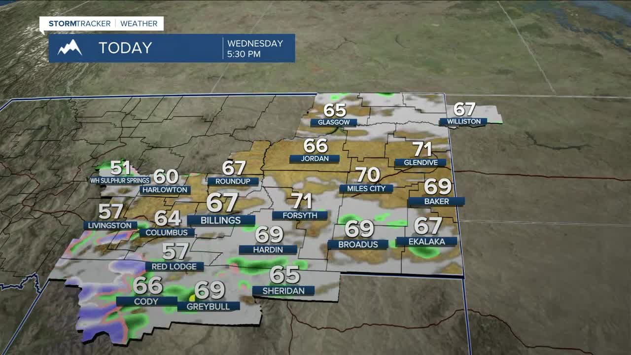
Daytime highs will range from the upper 50s west to low 70s east on Wednesday, upper 60s to mid-70s Thursday, mid-70s to low 80s on Friday, mid to upper 60s on Saturday and Sunday, upper 60s to low 70s on Monday, then mid-70s to low 80s on Tuesday.
Miller Robson
Q2 Morning Meteorologist
miller.robson@ktvq.com
