


BILLINGS — High pressure ridging builds in from the west Friday, keeping mainly dry conditions in place as temperatures warm mainly into the 60s, with some areas east and south of Billings cracking the low 70s.
An area of low pressure off the west coast will bring increasing moisture into the region through southwest flow. This will give us a chance of a few isolated afternoon showers, mainly in the mountains and foothills, along with breezy conditions across southeast Montana into northern Wyoming, where gusts of 25-40 mph are likely.
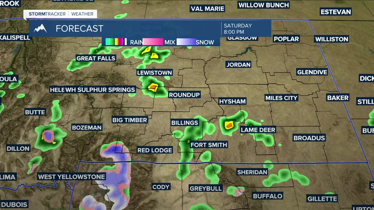
A stronger disturbance moves in Saturday afternoon into the evening, bringing a better shot at a few thunderstorms. Ahead of it, conditions stay warm and dry with highs in the 70s to low 80s. Gusty winds across area foothills, along with lower humidity, will bring grass fire concerns, so don't cause a spark.
A more active pattern sets up Sunday into Monday as the low moves in, bringing a better chance of mountain snow and lower elevation rain, especially on Sunday/Monday and then again Wednesday/Thursday as several disturbances are anticipated to sweep through. Many lower elevations have a chance of picking up at least a quarter inch of moisture through the middle of next week, especially in the higher hills. Area mountains could get a few inches of snow.
Daytime highs will trend cooler overall, generally in the upper 50s to low 70s, with another cool-down possible by Thursday.
Miller Robson
Q2 Morning Meteorologist
miller.robson@ktvq.com
