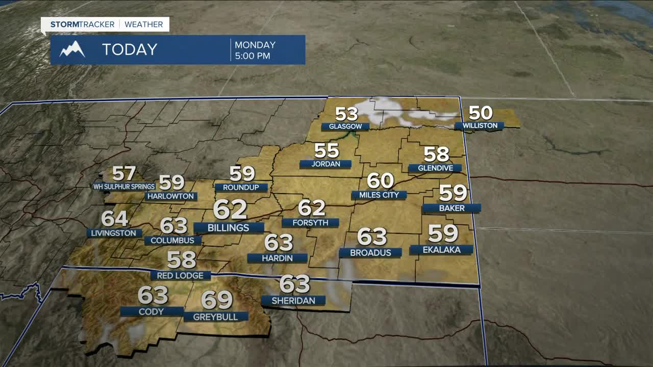


BILLINGS — Welcome to the first week of spring! Overall, we’re looking at a quiet stretch of weather through the next few days, with a warming trend building into midweek as high pressure takes control. Daytime highs will climb back into the 60s Monday, 60s to low 70s Tuesday, and upper 60s to low 80s Wednesday.
Ahead of the cold front, some light snow is possible Tuesday morning in the Beartooths, then a few isolated showers could develop late Tuesday into Tuesday night across the area. The front arrives Wednesday, bringing a chance of light snow in the mountains and light rain in the lower elevations through Thursday morning, with some snow possibly mixing in. Expect cooler temperatures, with highs in the 40s to low 50s Thursday, then mainly 50s Friday.
Winds will increase ahead of the cold front late Tuesday night into Wednesday, with gusts between 50–60 mph or stronger possible across the western foothills (Livingston, Big Timber, Harlowton), while gusts between 20–40 mph or stronger could impact the rest of the area, including Billings.
Confidence is high that a ridge rebuilds next weekend, bringing another round of dry and warmer weather, with highs in the 60s Saturday, then 60s and 70s on Sunday.
Miller Robson
Q2 Morning Meteorologist
miller.robson@ktvq.com
