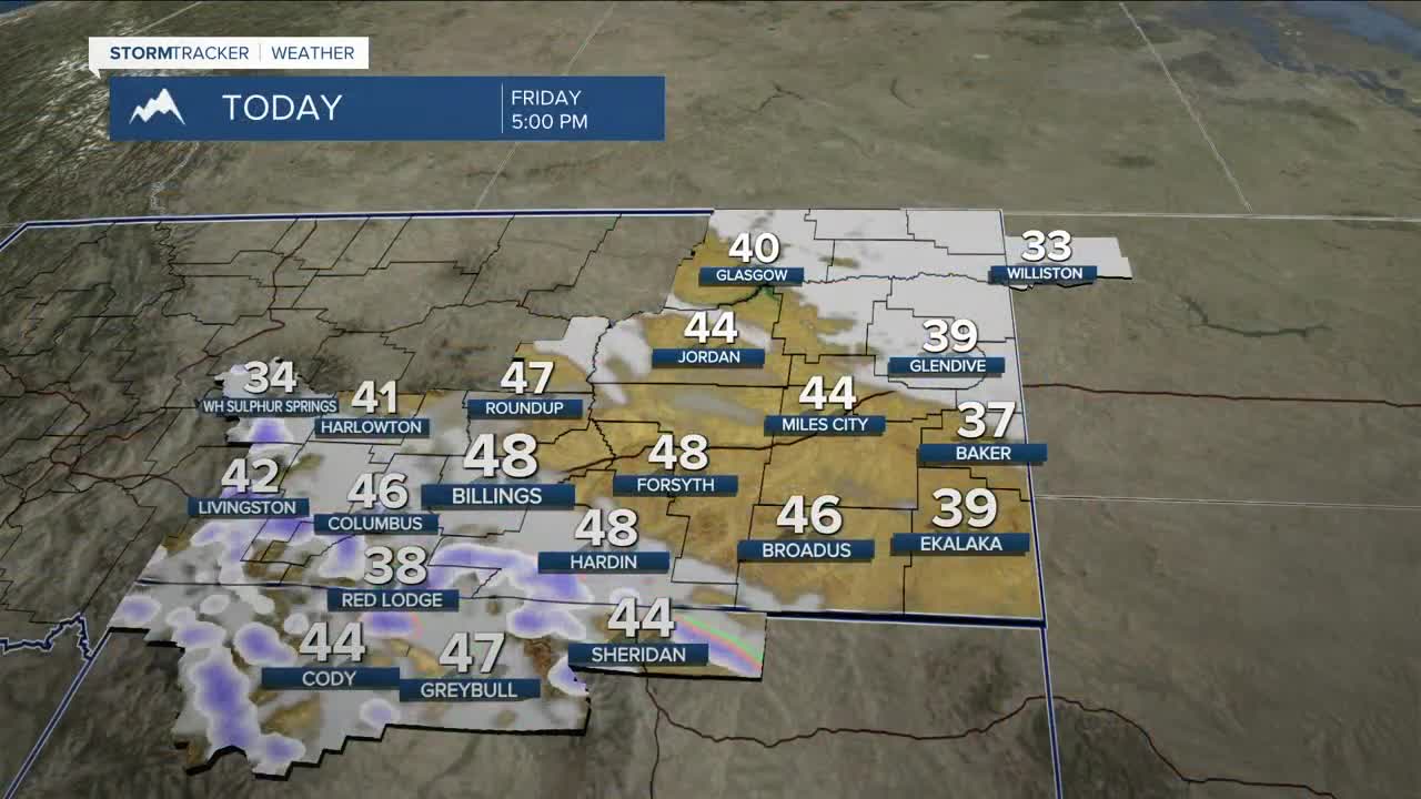


BILLINGS — As an upper-level low exits the region, scattered snow and rain showers will linger in its wake through Friday evening. The bulk of the snow will drop in the mountains, but foothills and higher hills could see minor travel impacts from the snow, too. We may even hear a few rumbles of thunder, and an isolated thunderstorm or two can’t be ruled out. Daytime highs will stay on the cooler side in the 30s and 40s.
The weekend looks quiet, with warmer and drier conditions settling in. Temperatures will warm steadily, with highs reaching the 50s and 60s Saturday, 60s and 70s Sunday, then 70s and 80s Monday through Wednesday.
Another system may bring cooler, unsettled weather late Tuesday into Wednesday, but there’s still some uncertainty, so it’s worth keeping an eye on updates.
Miller Robson
Q2 Morning Meteorologist
miller.robson@ktvq.com
