

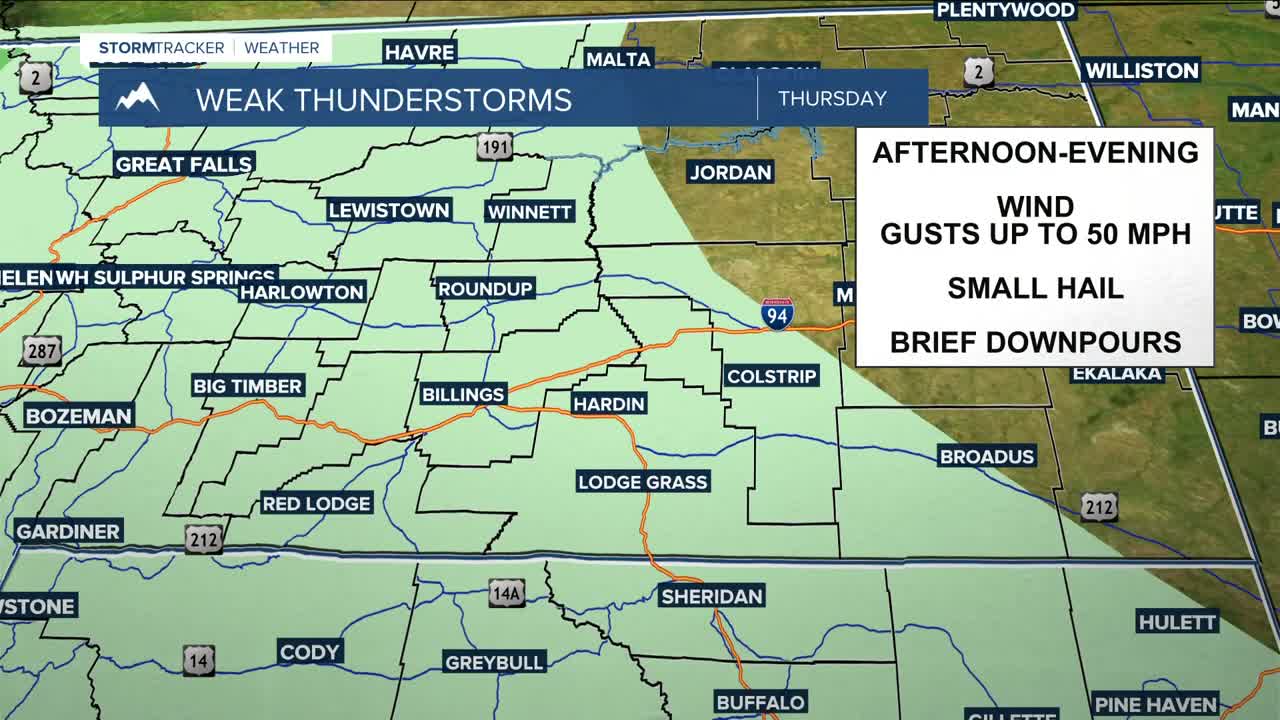


BILLINGS — An upper-level low stuck to our southwest, blocked by high pressure to our east, will continue to bring a chance for daily showers and thunderstorms through Friday, especially over the mountains and western zones. This setup will keep a south to southeast flow in place across the region, locking in above-average temperatures, with daytime highs in the 80s and 90s through Friday. The hottest readings will likely be across eastern Montana.
The main concern with any storms that become stronger will be gusty and erratic winds up to 50 mph. Some storms could also produce brief moderate rainfall and small hail.
Breezy southeast to east winds will continue across eastern Montana, with gusts between 20-40 mph possible through Thursday, before the stronger winds shift closer to the Montana-Dakotas border on Friday.
Also, increased mountain snowmelt will persist through the week due to the hot temperatures, so expect rising levels on rivers, creeks, and streams, though flooding is not expected. The water will be very cold, and currents and flows will be stronger, so use caution if you plan to access these areas.
Models continue to suggest that an area of low pressure will move out of the Great Basin and into the Northern Rockies, bringing an increased chance of widespread precipitation and thunderstorms through the weekend and into early next week. There is still uncertainty regarding how this system will evolve. Some models show the system weakening as it moves through the region, while others keep it more organized and slower to exit.
Despite the uncertainty, confidence continues to increase in a cooler and more active weather pattern. As of now, much of the region could receive around a half-inch of precipitation from Saturday through Monday, with the greatest amounts over western and central areas. Area mountains could also pick up a few inches of higher-elevation snow during that period.
Some models are hinting at another disturbance moving in behind this system early next week, which would reinforce shower and thunderstorm chances, but uncertainty remains with that as well.
Miller Robson
Q2 Morning Meteorologist
miller.robson@ktvq.com
