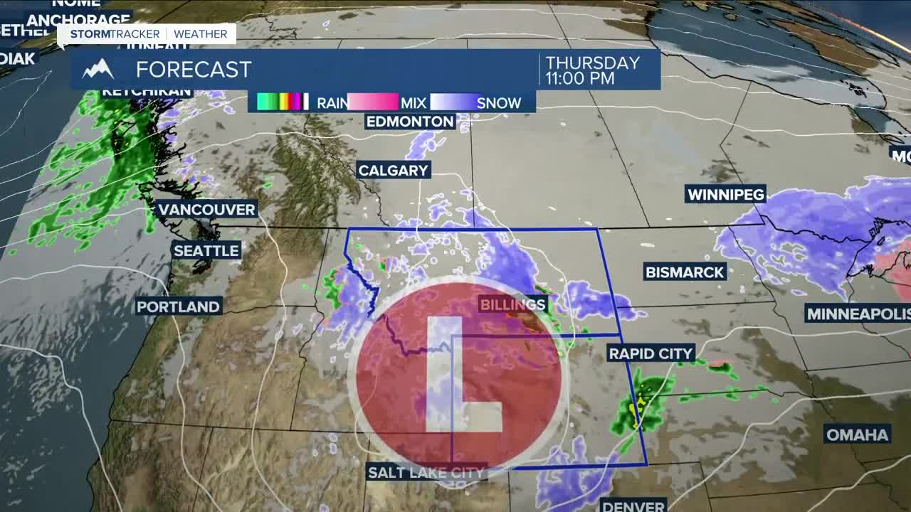


BILLINGS — Light freezing rain could impact areas east and southeast of Billings Wednesday morning. Watch out for very slick roads, especially bridges and overpasses. Reduced visibility will also be possible. Conditions improve during the day with precipitation tapering off and some clearing, but light snow showers will linger in the mountains into Thursday. Highs will be mainly in the 40s and 50s.
A stronger storm is still on track for Thursday into Friday, bringing widespread rain changing to snow. Moderate snow is possible across the plains (especially SE Montana and northern Wyoming), while heavy snow is likely in the mountains, with over a foot possible. Gusty winds (up to 40+ mph) could reduce visibility. There’s also a chance for heavier bands of snow to set up, which could quickly boost totals in spots.
Here are some projected totals (low end to high end) using a blend of models. Some areas have a wide range due to uncertainty that remains with the storm's possible track.
BILLINGS: 0.5-4"
ALZADA: 2-8"
BAKER: 1-8"
BIG TIMBER: 0-2"
BROADUS: 1-8"
BURGESS JUNCTION: 8-16"
CLEARMONT: 1-8"
COLUMBUS: T-3"
COOKE CITY: 5-12"
CROW AGENCY: 2-7"
DAISY PASS: 6-15"
DAYTON: 2-9"
EKALAKA: 2-10"
FORSYTH: 1-5"
GARDINER: 1-5"
HARDIN: 3-8"
HARLOWTON: T-2"
HYSHAM: 1-5"
LAME DEER: 2-8"
LIVINGSTON: 1-5"
LODGE GRASS: 2-9"
MILES CITY: 1-5"
RANCHESTER: 2-8"
RED LODGE: 1-5"
ROUNDUP: 0.5-3"
SHERIDAN: 1-7"
STORY: 2-8"
Road impacts may be limited initially thanks to warmer surfaces, but use caution during commutes. Blowing snow could cause reduced visibility. Heavy, wet snow and colder temperatures (30s and 40s) on Friday could pose a risk to young livestock.
High pressure returns for Easter weekend with dry, warmer weather, and highs back into the 60s (possibly 70s) by Sunday.
Miller Robson
Q2 Morning Meteorologist
miller.robson@ktvq.com
