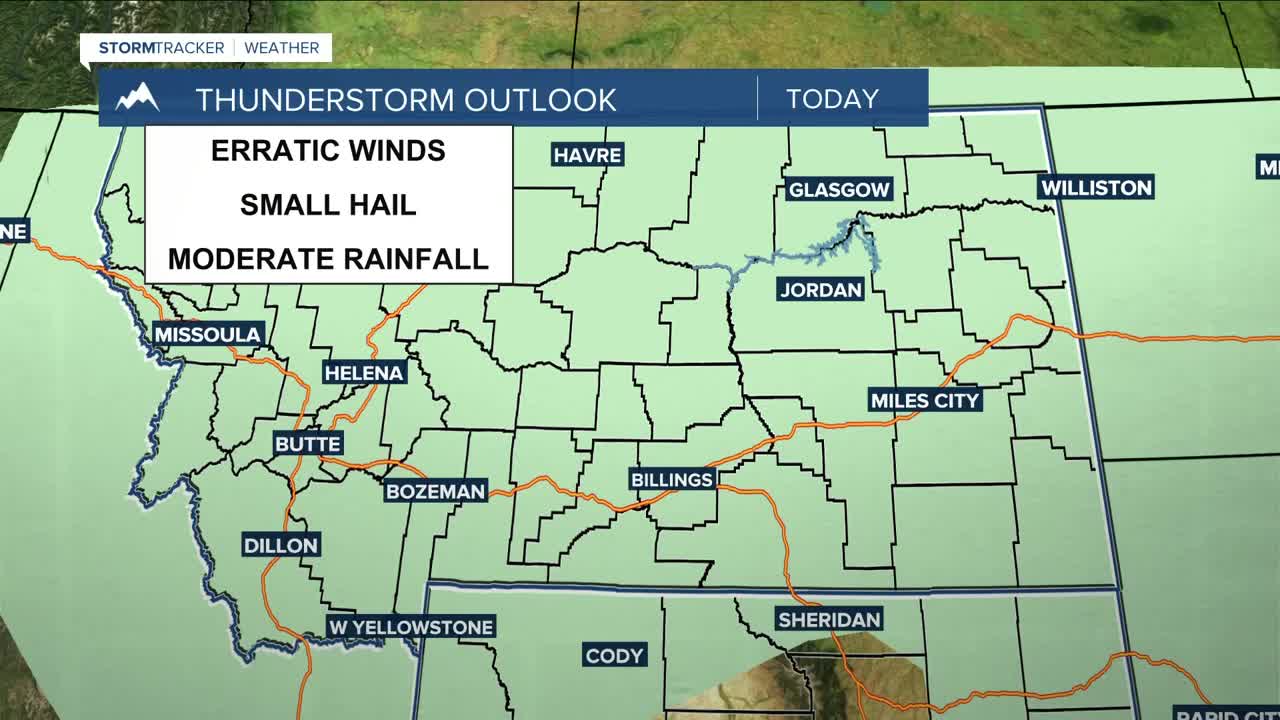


BILLINGS — A moisture-rich weather system will begin to impact the region starting Wednesday afternoon, bringing a very good chance for lower-elevation rain and mountain/foothill snow into Thursday as a cold front sweeps through. The best odds for up to a half an inch of precipitation will generally be west of Rosebud County, with areas north and east generally looking at about a tenth of an inch, give or take. There will also be a moderate chance for thunderstorms across the region on Wednesday and south and east of Billings on Thursday. Erratic winds and small hail will be possible with any storms that do pop up.
Snow levels are expected to remain in the 6,000 to 7,000-foot range, keeping most accumulating snow confined to the mountains. The Beartooths, Absarokas, and Bighorns have a very good chance of picking up more than 6 inches of snow, although the higher peaks could see over a foot. The heaviest snowfall is expected on north-facing slopes. A foot of snow is possible across Beartooth Highway, which may delay the opening scheduled for this Friday.
Daytime highs will be in the 60s and 70s on Wednesday, then briefly cool into the 50s and 60s Thursday behind the cold front. Dry and warmer weather returns Friday through at least Sunday as high pressure builds up, with highs warming into the 60s and 70s Friday, mainly 70s Saturday, then 80s Sunday through Tuesday.
Some models are suggesting another trough potentially moving into the region on Memorial Day, bringing a chance for more precipitation and possibly cooler temperatures.
Miller Robson
Q2 Morning Meteorologist
miller.robson@ktvq.com
