


BILLINGS — An unsettled weather pattern has moved in, bringing multiple rounds of precipitation to the region through Friday, with the best chances coming Thursday morning and again Friday afternoon.
This will fall as snow in the mountains, where snow levels are expected to drop to around 2,000 feet by Friday. The Absarokas, Beartooths, and Crazies have a good chance of picking up over a foot of snow, so a Winter Storm Warning is in effect through Friday morning. A Winter Weather Advisory is in place through Thursday evening in the Bighorns, where up to a foot could accumulate. Foothill areas could receive 4+ inches. Be prepared for travel impacts like slick and slushy roads and periods of reduced visibility due to blowing snow late Thursday into Friday.
Precipitation will be widespread rain in the lower elevations before transitioning to snow Thursday night into Friday morning, with little to no accumulation expected. For areas that do receive snow, expect mainly under an inch accumulating on grassy surfaces. There is a good chance of up to around a half inch of total moisture in areas along the foothills, with a lesser chance in south-central and southeast MT through Friday night.
Strong winds can also be expected across the region, with gusts up to 60 mph in the mountains and foothills through early Thursday morning, while gusts between 30-50 mph will be possible across the rest of the region.
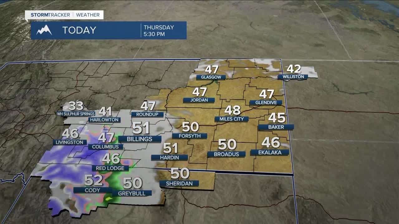
The area will be behind a double shot of cold fronts on Thursday, so we can expect colder temperatures, with daytime highs generally in the 40s and 50s through early next week. Lows will dip into the teens and 20s Friday, Saturday, and Sunday mornings. The cooler and wet conditions will be dangerous for young livestock.
Unsettled conditions will continue into next week, with some models showing another system potentially moving through the southeast side of the state Sunday into Monday, so more rain and snow will be possible.
Miller Robson
Q2 Morning Meteorologist
miller.robson@ktvq.com
