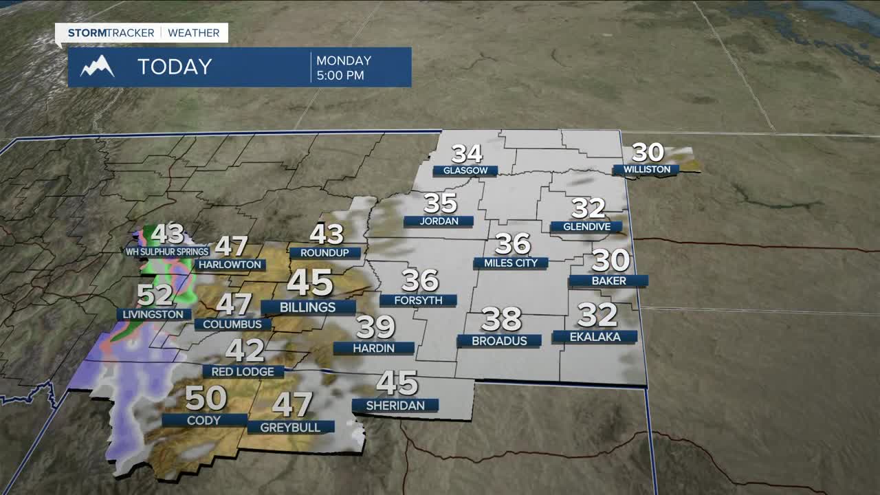


BILLINGS — Roads and sidewalks will be icy and slick Monday morning, as very low temperatures (some locations possibly dipping below zero in the east) will cause wet pavement to refreeze. Other areas will range mainly from the teens to low 20s.
There is also a good chance of 6–12 inches of new snow across the western mountains and light snow in the foothills. There is also a slight chance of rain or a rain/snow mix over the plains. Daytime highs will warm mainly into the mid-30s to mid-40s.
Starting by late Monday or early Tuesday, west to northwest winds will increase west of Yellowstone County. High Wind Warnings, Watches, and Advisories will be in effect. The strength of the winds will depend on how much snow is still on the ground. If temperatures remain cooler with warmer air aloft, this will help suppress the winds a bit. As of now, there is a very good chance of gusts between 55–70 mph from Livingston to Nye and Big Timber to Harlowton. Up to at least 40 mph could impact the plains. Periods of breezy to strong winds will remain over the western foothills for the rest of the week.
High pressure will dominate the rest of the week, bringing dry conditions as temperatures continue to warm up, with highs in the 50s and 60s on Tuesday, then the 60s and 70s through Saturday. Some areas could see record temperatures before cooling to the 50s and 60s on Sunday.
Miller Robson
Q2 Morning Meteorologist
miller.robson@ktvq.com
