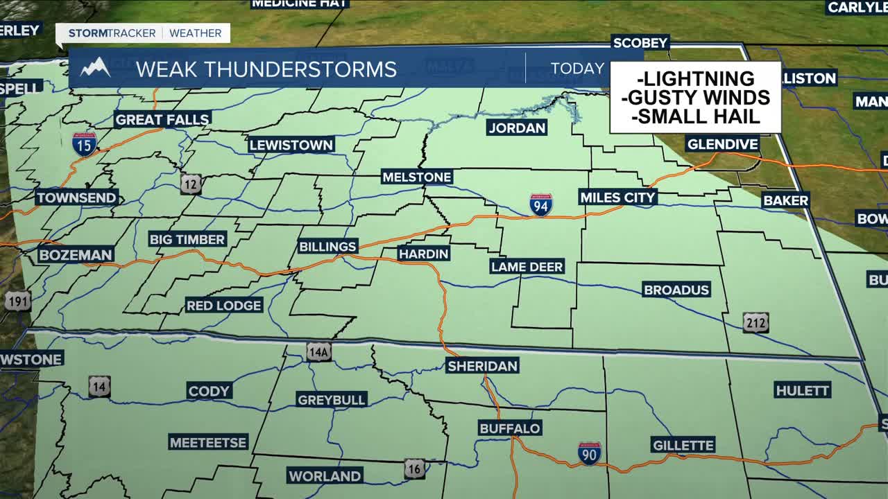


BILLINGS — An upper-level low will spread an increasing chance for showers and a few weak thunderstorms across the region on Thursday. A few storms could also produce lightning, small hail, and brief gusty winds, but the risk for strong or severe storms looks fairly low at this time. Rainfall totals will generally be less than an inch, but any areas that do see brief heavy downpours with storms that pop up could pick up a quarter of an inch. The mountains could see a few inches of snow above 9,000 feet. Daytime highs will be mainly in the mid to upper 60s.
Friday looks to be mostly dry and warmer, with many locations reaching the low 70s, but another system arrives late Friday night into Saturday, bringing another round of showers and thunderstorms. This time, the better chances for rain and storms look to favor the plains more than the foothills.
By late weekend into early next week, a stronger ridge of high pressure builds into the western U.S., leading to a much warmer pattern. Highs could reach the 80s by Sunday and extend into early next week as conditions aim to stay dry.
Miller Robson
Q2 Morning Meteorologist
miller.robson@ktvq.com
