


BILLINGS — Warm and mostly dry weather holds through Wednesday, with highs in the 70s to mid-80s. Snowmelt will increase, especially in the mid elevations, leading to rising streams and rivers.
Winds stay fairly light Tuesday, between 20–35 mph, then pick up Wednesday, with gusts between 25-35 mph across much of the region, but gusts up to 50 mph will be possible in foothill areas. Fire weather concerns will increase midweek with low humidity and stronger winds.
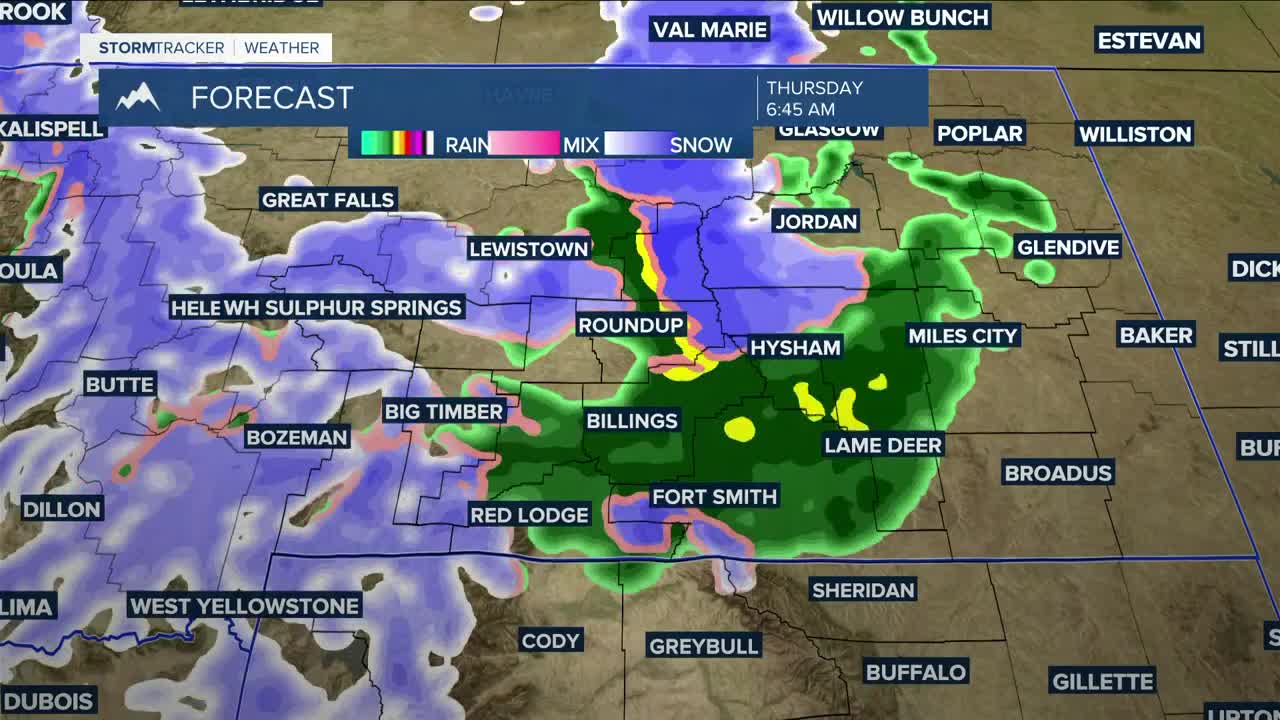
A major pattern change arrives late Wednesday into Friday, and confidence is high that stronger wind, cooler temps, and precipitation will move in, but exact impacts depend on the storm track. Rain develops Wednesday, possibly mixing with or changing to all snow Thursday, especially east, where colder air could move in faster. Strong winds may create blowing snow issues in spots. A few thunderstorms are possible Wednesday afternoon and evening, mainly across the plains. The main concern would be brief gusty, erratic winds.
A low develops over the High Plains Thursday, then interacts with another system Friday. Where that low tracks will determine how impactful this gets. If it stalls to our south and east, impacts go up, but if it shifts north into Canada, impacts stay lower. Right now, there’s a decent chance of 60+ mph wind gusts Thursday, highest across far eastern Montana and north-central Wyoming. There’s also a good chance of a half inch or more of precipitation across much of the region, but the foothills and higher terrain south of Billings may have a better chance.
Area mountains could receive over 8 inches of snow Wednesday night through Friday evening. Snow levels are forecast to drop to around 3,500 feet on Thursday. Areas west and south of Yellowstone County could get a few inches of snow. Only light accumulation is expected elsewhere, mainly on grassy areas.
Precipitation starts as rain, then could switch to snow Thursday. Eastern Montana will be the area to watch, as cooler air could move in faster, turning rain to snow quickly and leading to possible blowing snow issues.
The weekend stays cooler and unsettled, with occasional showers.
Miller Robson
Q2 Morning Meteorologist
miller.robson@ktvq.com
