



BILLINGS — A persistent warm to hot weather pattern will remain in place through Friday, with daily highs in the 80s and 90s, with the hottest readings likely across eastern Montana. Streams, creeks, and river levels will continue to be elevated due to increased mountain snowmelt, but no flooding is expected. Currents and streamflows will be stronger, and the water will be very cold, so use caution if you plan to recreate in these areas.
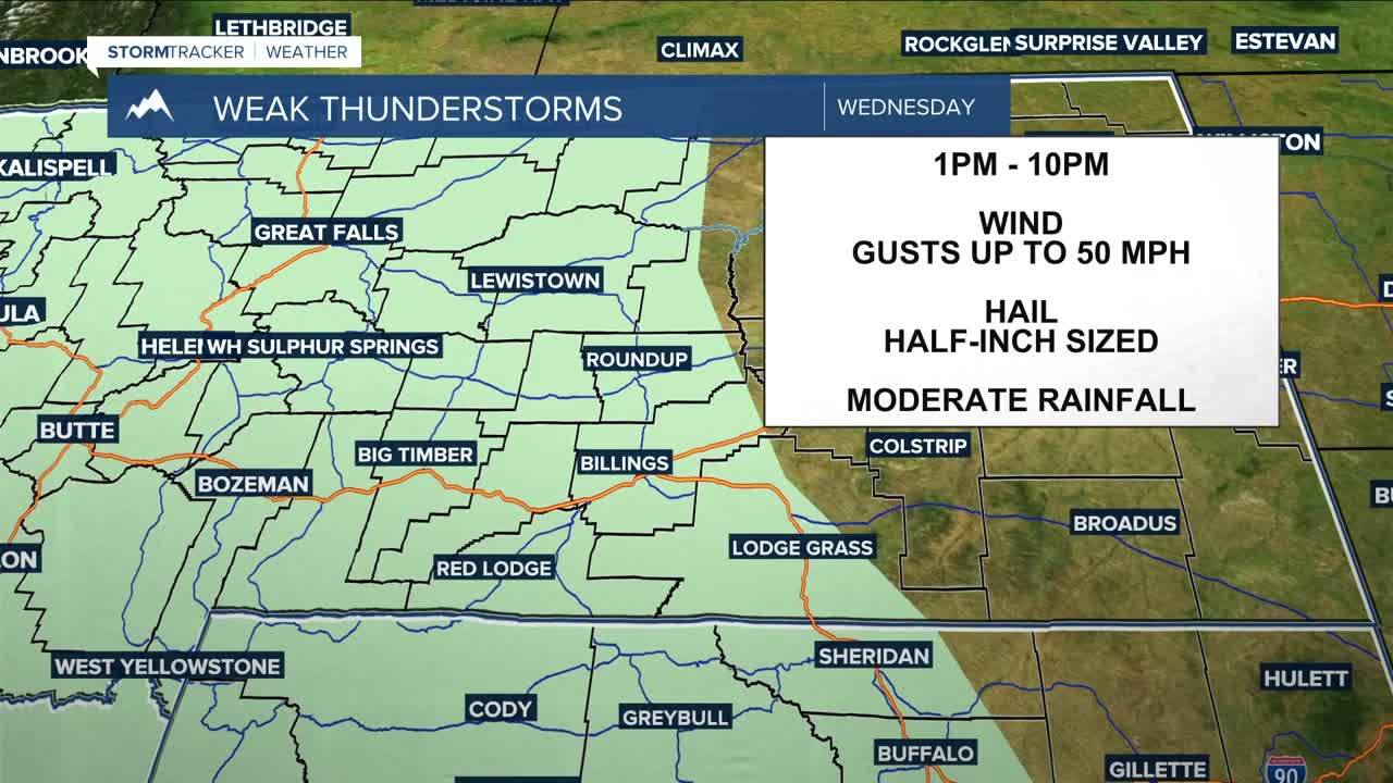
An upper-level low to our southwest will continue to bring chances for daily showers and thunderstorms, mainly across the mountains and areas west of Yellowstone County. A few storms could turn strong to severe at times, producing gusty winds and brief moderate downpours.
Breezy southeast to east winds will continue mainly east of Billings, where gusts between 20-40 mph will be possible from time to time.
Models continue to show an area of low pressure moving into the Northern Rockies that will influence our region heading into the weekend and early next week. While there is still some uncertainty with the exact track and timing, the overall pattern points toward cooler and wetter weather returning to the region.
Daytime temperatures will be in the 70s and 80s for the weekend, with a few locations dipping into the 60s, along with increasing chances for showers and thunderstorms.
Miller Robson
Q2 Morning Meteorologist
miller.robson@ktvq.com
