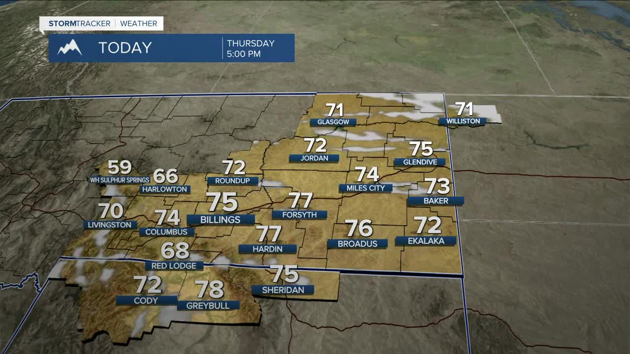


BILLINGS — Get ready for a windy but cooler day across the region as a cold front moves east on Thursday. Expect gusts over 60-70 mph along the US-191 corridor from Big Timber to Judith Gap, and gusts AT at least up to 60 mph across the rest of the area. The windy and dry conditions will keep fire weather concerns in place. Daytime highs will be mainly in the low to mid-70s.
Friday will be mainly dry (a few weak evening thunderstorms will be possible), breezy, and slightly cooler with highs in the upper 60s to low 70s.
Saturday will start off mainly dry out ahead of a stronger system that will bring a better chance for rain and mountain snow by Saturday afternoon through Sunday, but details remain moderately uncertain at the moment. Precipitation will depend on the evolution of the system. As of now, a blend of models shows a chance of a tenth to a quarter of an inch of rainfall in the lower elevations and over 6 inches of snow in the mountains, which could equal over a half inch of moisture. The foothills could also get some wet snow. Stay tuned.
Temperatures will continue to cool across the weekend with highs in the mid-60s to low 70s on Saturday, then mid-40s west to mid-50s east on Sunday.
Models are hinting at an active weather pattern for the first half of next week with daytime highs gradually warming up to around seasonal averages (mid-60s) by the middle of the week.
Miller Robson
Q2 Morning Meteorologist
miller.robson@ktvq.com
