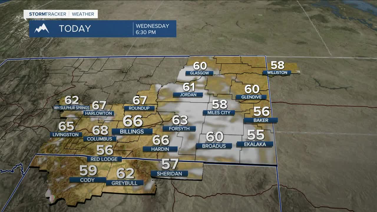


BILLINGS — After a very cold morning, much of the region will enjoy a good bit of sunshine on Wednesday as daytime highs warm into the mid-50s to Mid-60s, with dry conditions briefly moving in. Clouds will begin to increase by Wednesday evening as unsettled weather heads back into the region.
Northwest flow will influence the area on Thursday as a shortwave disturbance moves through by midday, bringing an increased chance for rain. As temperatures will be warmer (highs in the mid-60s to low 70s), there could be just enough instability for a few weak thunderstorms to develop. For those areas that do see rain, up to a tenth of an inch could accumulate by Friday, especially in central zones in the Q2 viewing area (including Billings) and the mountains.
We may get a brief break from the rain on Friday morning, but models indicate that an active system will move in by late Friday through the weekend, bringing a chance for more rain and possibly a few more thunderstorms. Daytime highs will be mainly in the mid-60s on Saturday, then upper 60s to mid-70s on Sunday.
High pressure brings dry conditions back into the region early next week, with highs in the 70s and 80s on Monday and Tuesday.
Nighttime lows will be mainly in the mid-30s to upper 40s through the weekend.
Miller Robson
Q2 Morning Meteorologist
miller.robson@ktvq.com
