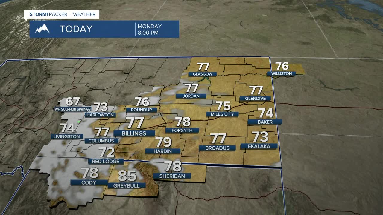


BILLINGS — The area will get a brief break from active weather on Monday as a weak ridge of high pressure builds into the region, bringing drier conditions. Highs will be mainly in the 70s.
A cooler and more active weather pattern returns starting Tuesday as an upper-level trough settles over the northern Rockies. Expect daily chances for showers and thunderstorms through the rest of the week as several disturbances move through. The risk for strong to severe storms appears low at this time.
It may get cold enough for light snow to accumulate in the higher elevations, including along the Beartooth Highway.
Daytime highs will he mainly in the upper 60s and 70s for the remainder of the week.
Miller Robson
Q2 Morning Meteorologist
miller.robson@ktvq.com
