


BILLINGS — The area will be trending warmer and drier through Tuesday as the region remains under the influence of northwest flow, with high pressure to the west and low pressure to the east. A few isolated showers and weak thunderstorms could still pop up, mainly across eastern and northeastern MT, due to occasional small disturbances moving through. Daytime highs will be in the mid to 70s to around 80° on Monday, then mid to upper 80s on Tuesday.
Expect strong wind gusts out of the northwest between 20-40 mph over the east on Monday. Winds will get stronger on Tuesday, with westerly gusts up to 50 mph possible across the western foothills. This will spread across much of the region on Wednesday, especially east, with the passing of a cold front.
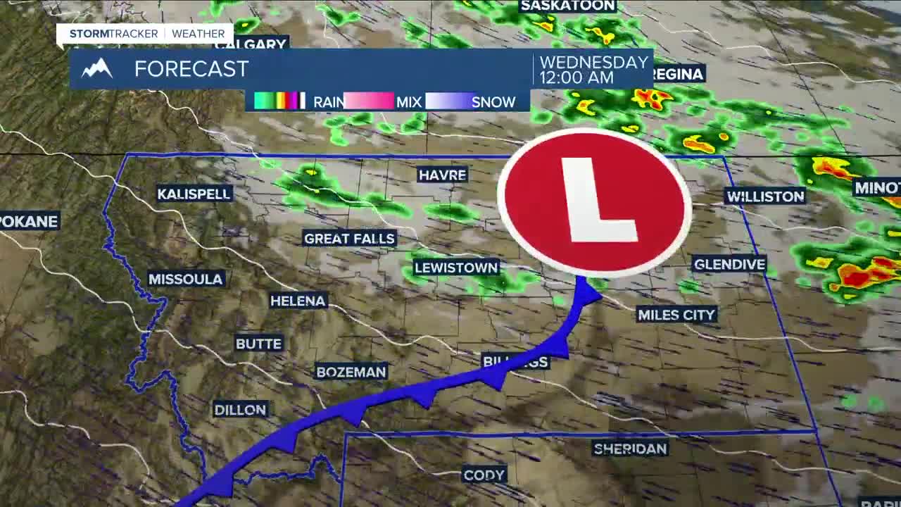
A much stronger shortwave, along with the cold front, is forecast to drop into the region Tuesday night and Wednesday, bringing a better chance for showers and thunderstorms through Wednesday night, mainly across northern and eastern areas. It will also turn cooler.
A few weak disturbances will continue to move through the northwest flow through the end of the work week, keeping a very slight chance for isolated showers and thunderstorms in the forecast.
Looking ahead to the weekend, a developing trough along the West Coast will bring winds out of the southwest, increasing available moisture and bringing a better chance for scattered showers and thunderstorms across the region.
Daytime highs will cool to more seasonable, or slightly above-normal, levels Wednesday through Saturday, mainly in the 70s to around 80 degrees.
Miller Robson
Q2 Morning Meteorologist
miller.robson@ktvq.com
