


BILLINGS — Broad west-northwest flow remains in place on Friday, so expect mostly sunny skies and dry weather through the afternoon. Winds will remain breezy, generally between 15-30 mph across much of the region, but occasional gap flow gusts up to 40 mph will be possible in and around the Harlowton area. Daytime temperatures will warm to near seasonal averages, with highs mainly near the mid-70s.
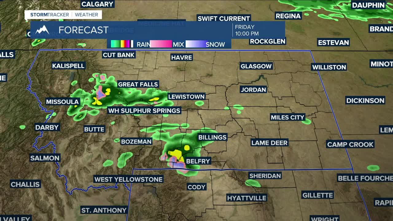
A cold front will drop down into the region from Canada by Friday night, bringing a chance for showers and weak, isolated thunderstorms Friday evening through Saturday afternoon. Models are suggesting that this system may bring the best chances for precipitation to areas south and west of Yellowstone County.
The current projected track could enhance upslope precipitation along the northern slopes of the mountains, meaning the foothills near Red Lodge and along the Bighorn Mountains appear most likely to receive the highest precipitation from this fast-moving system, with totals around 0.5-0.75". Other areas are expected to get less than 0.10" where rain does happen to fall. Billings may get up to 0.25".
Snow levels will drop to as low as 8,500 feet, with a couple of inches in the Beartooths and Bighorns, although a blend of models is showing that over 6" are possible in the higher elevations of the Bighorns. Minor to moderate travel impacts are possible over Beartooth Pass (mainly above Vista Point) and along U.S. Highway 14 through the Bighorn Mountains Saturday morning.
High pressure is expected to move in as early as Saturday late afternoon, bringing dry conditions to the region through early next week. The break may be short-lived, however, as models are suggesting that another disturbance could influence the region by the middle to latter part of next week, bringing renewed chances for showers.
The aforementioned cold front will briefly cool daytime temperatures down into the low to mid-60s on Saturday, before a gradual warm-up begins on Sunday with highs in the upper 60s to low 70s, low to mid-70s on Monday, then low to mid-80s on Tuesday before cooling down into the upper 70s to low 80s on Wednesday and Thursday.
Nighttime lows will be mainly in the 40s through the weekend, then in the 40s and 50s next week.
Miller Robson
Q2 Morning Meteorologist
miller.robson@ktvq.com
