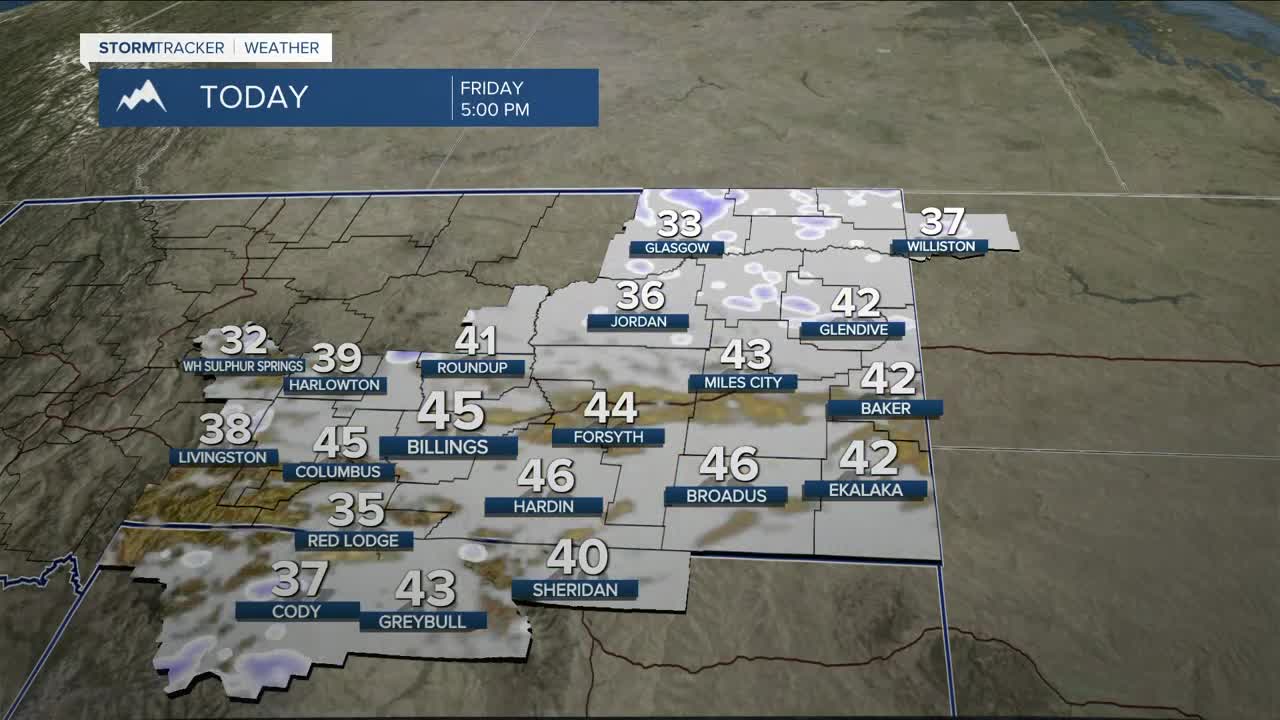


BILLINGS — Three to seven inches more snow can be expected across the mountains, while another two to five inches are possible for the foothills through Friday evening. The lower elevations won't get much of that snow, although the higher hills could see a little accumulation. It will also stay breezy to windy with gusts between 20–30 mph (or stronger), especially in the north. Cool daytime temperatures stay in place, with highs mainly in the mid-40s.
Cool and unsettled conditions look to continue across the weekend and into early next week, with on-and-off rain and snow showers as several disturbances move through the region, as an upper-level low lingers in the north over Saskatchewan, which could bring increased chances for precipitation, especially over southeast Montana Sunday into Monday. There is a lot of uncertainty about this at the moment. Stay tuned.
Daytime highs will be mainly in the 40s and 50s through Monday before some locations reach into the 60s on Tuesday. Lows will be mainly in the 20s through the weekend.
Miller Robson
Q2 Morning Meteorologist
miller.robson@ktvq.com
