

BILLINGS — Welcome to the first day of meteorological summer. That's right ,the first day of June always is the beginning of summer, and it's also the first day of the hurricane season.
Here in Billings, it's also the first day of a nice stretch of mild weather. We do see the possibility of some thunderstorms in and around our area, but it's 76 degrees at 2 p.m. in Billings.
Around the rest of the state, our temps are mostly to the 50s and 60s up in the northwest, but 70s everywhere else except for Worland, Wyo., where it is 90 degrees right now.
The thunderstorm outlook for Monday shows a marginal risk of severe storms between Bozeman, Billings and Lewistown and also in east-central Montana, east of Miles City. We could see isolated thunderstorms everywhere else.
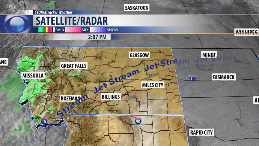
On Tuesday, that margin risk of severe storms drops a little farther south into northern Wyoming. However, right now we are seeing some scattered light rain showers moving into west central Montana around Missoula.
This is all part of a minor shortwave weather disturbance moving in from Oregon and is forecast to track across central Montana Monday evening. Or at least that's what our high-resolution forecast model shows.
By 6 p.m., we see showers from Salmon, Idaho, through Bozeman into Winnett, but still staying north and west of Billings.
We think by Tuesday morning that whole line of showers will shift through the state. We do see some spotty showers around West Yellowstone.
Most of Tuesday afternoon will be sunny, but you could see some thunderstorms develop across the state line in northern Wyoming.
We anticipate mostly sunny skies Wednesday morning with just a few clouds and plenty of sunshine Wednesday afternoon.
We will continue to stay into the 80s for the rest of Monday, then drop back down to the 50s the morning back to the 70s about 2 p.m. Tuesday.
For the rest of the week, it will be a roller coaster for temps from the 70s to the 80s back to the 70s again and back up into the 80s again on Friday and Saturday.
BILLINGS FORECAST
TONIGHT: Partly cloudy with a 20% chance for showers and thunderstorms this evening, Northeast winds 5 to 15 mph in the evening shifting to the West overnight. Low 56 degrees.
TUESDAY: Mostly sunny and warm. Northwest winds 5 to 15 mph high 78 degrees.
WEDNESDAY: Mostly sunny and warmer still. West winds 5 to 15 mph. High 83 degrees.
