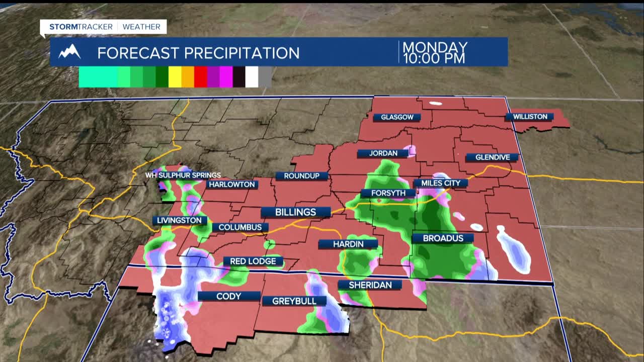


BILLINGS — TONIGHT THROUGH TUESDAY: The wind is back. A warm front sweeps across the region tonight, bringing a 30–50% chance of mostly rain, though locations from northern Rosebud to Carter counties could see a wintry mix, including a brief chance for freezing rain. The good news: accumulations are expected to stay minor, well under a tenth of an inch.
As upper-level winds ramp up into the 60–75 knot range at around 10,000 feet, gusts will surge across the western foothills tonight as some of that wind mixes to the surface. Areas like Livingston and Nye will feel it first. By Tuesday, Sweet Grass (Big Timber) and Wheatland (Harlowton) counties face a 50 to 70% chance of gusts topping 60 mph.
Golden Valley (Ryegate) and Stillwater (Columbus) counties aren't off the hook either, with 20 to 50% odds of hitting that same threshold. For the rest of the region, expect gusts in the 40s mph Tuesday, with a 30–50% chance of topping 50 mph.
Meanwhile, mountain snow continues through Tuesday night. The Beartooth/Absaroka and Crazy Mountains will pick up an additional 1–3 inches before the snow wraps up.
WEDNESDAY THROUGH FRIDAY: After Tuesday's wind, upper-level ridging pushes into the region, and temperatures rocket upward. Expect the mid-50s to low 60s Tuesday, then the 60s and low 70s by Wednesday. By late in the week, near-record highs in the 70s are on the way.
That same upper-level ridge keeping the jet stream parked over the region will keep the western foothills breezy through the week. Areas west of Billings face daily 40–60% chances of gusts exceeding 50 mph right through Saturday.
