

BILLINGS — THROUGH WEDNESDAY EVENING: A cold front brings widespread gusts at 15 to 30 mph through this evening with scattered showers and isolated weak thunderstorms through the evening hours. These storms may produce graupel or small hail, so don't be surprised if you hear what sounds like marbles hitting your roof.
The main assault focuses on the mountains and foothills, where any thunderstorms or heavy downpours could unleash wind gusts up to 50 mph.
THURSDAY THROUGH FRIDAY: An upper-level ridge builds in Thursday and Friday and conditions trend warmer and drier. Thursday still holds onto a slight chance for mountain showers. Temperatures begin their climb from the mid-50s to low 60s on Thursday, then really start climbing with mid-60s to low 70s by Friday.
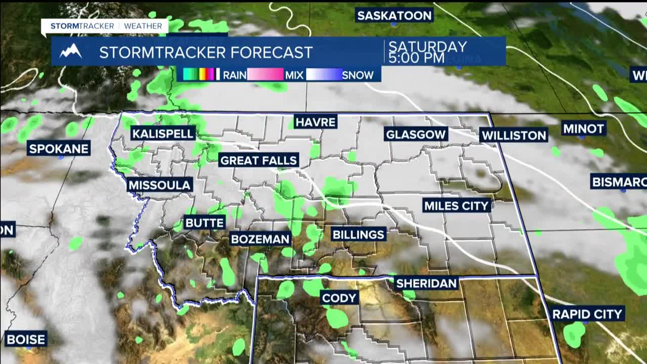
WEEKEND THROUGH EARLY NEXT WEEK: Over the weekend, high-pressure starts to weaken and break down, opening the door for northwesterly flow to bring occasional rounds of precipitation from Saturday into early next week. The atmosphere will be loaded with extra moisture, running about 110% to 130% above normal.
Cooler air stays locked east of our region, keeping high temperatures comfortable in the 60s and 70s through Tuesday.
