

BILLINGS — The gusty winds that have been rattling the region since yesterday are finally losing their punch as the cold front responsible for yesterday's weather chaos exits stage east. While you'll still feel breezy conditions with gusts up to 40 mph, especially in the foothills west of Billings and along the Dakota border, these winds will gradually taper off from west to east throughout the evening.
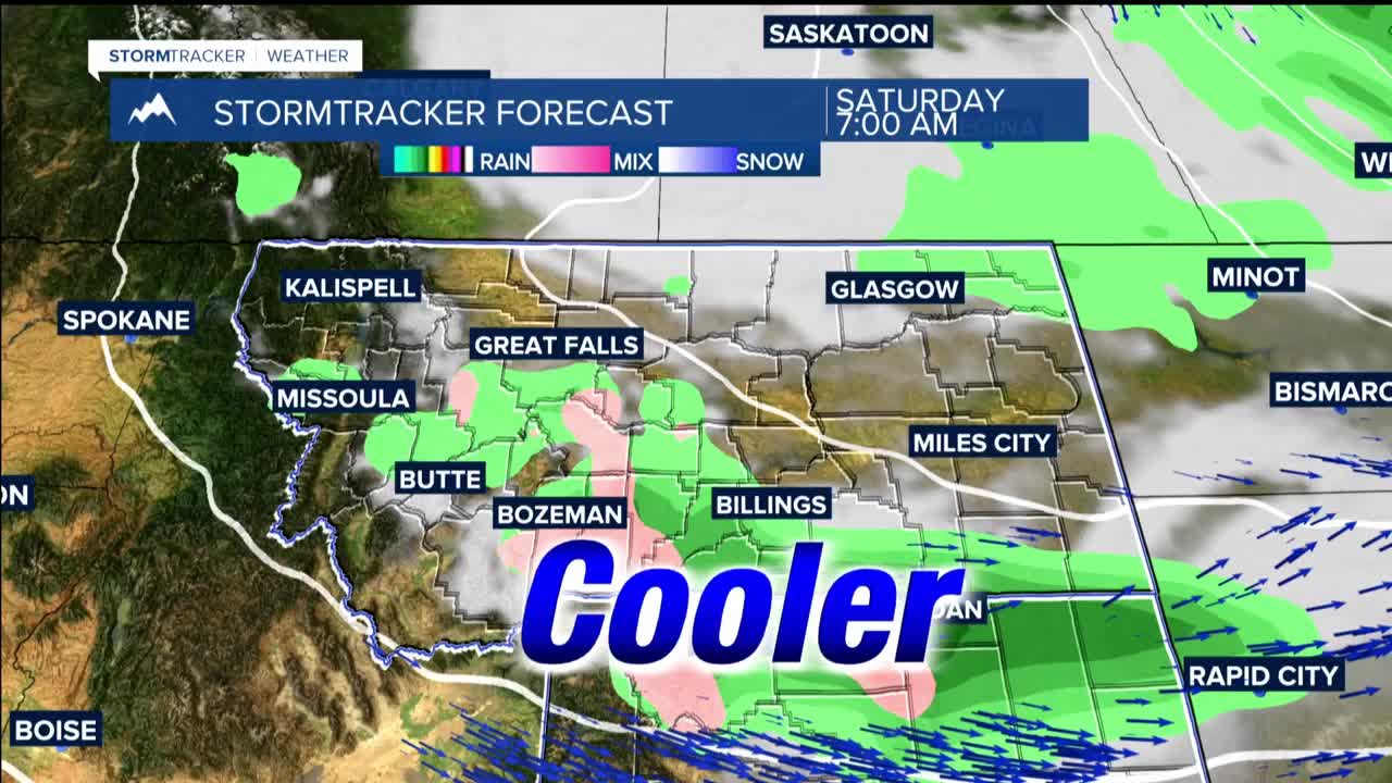
FRIDAY THROUGH SATURDAY: Friday starts off deceptively calm, but another cold front Friday evening ushers in cooler temperatures and widespread moisture. Friday night through Saturday, this system sets up upslope precipitation along the northern mountain slopes.
The foothills near Red Lodge and throughout the Bighorn Mountains potentially pick up half to three-quarters of an inch of rain. While most areas south of Highway 212 and near Billings have the best shot at meaningful rainfall, expect general thunderstorms and showers.
Snow levels will fluctuate between 7,000 and 9,000 feet, meaning only the highest peaks see accumulation, but falling snow could create visibility issues on Beartooth Pass Saturday morning.
SUNDAY THROUGH EARLY NEXT WEEK: As the weekend storm system finally moves into northern Ontario, weak high pressure builds in from the west. Sunday through early next week brings a return to warm, dry conditions. Temperatures climb back to the 70s and then 80s by the middle of next week with abundant sunshine dominating the forecast.
