

BILLINGS — THROUGH TUESDAY: The main troublemaker will be gusty winds reaching 35 to 45 mph, with southeastern Montana potentially seeing stronger gusts, small hail, and brief downpours through Monday evening. The western foothills get gusty southwest winds of 30 to 45 mph that should ease up by evening.
Tuesday brings relief with mainly dry conditions and a warming trend. Temperatures climb back into the comfortable mid to upper 60s as lighter downslope winds work their drying magic across the region.
WEDNESDAY THROUGH FRIDAY: Temperatures push towards 70 degrees from Billings to the east. A powerful cold front sweeps in from the north. Western foothills will again face gusty winds of 40 to 50 mph, with many areas seeing 20 to 35 mph gusts by afternoon. Shower chances increase across western mountains and foothills, with isolated thunderstorms possible from Billings west.
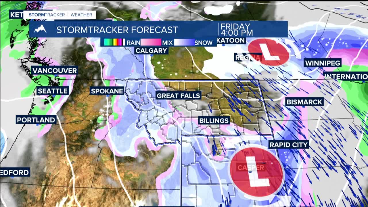
A much stronger, colder system brings colder temperatures and widespread precipitation chances of 50 to 90 percent across western and central areas. Snow levels drop from 7,000 feet Wednesday afternoon to just 3,500 feet by Thursday afternoon, which could include high hills around Billings.
Thursday night into Friday , snow becomes possible even in the valleys. Mountain areas could see over a foot of snow. Friday remains cool and unsettled with lingering precipitation possible, especially in southern areas.
WEEKEND: As high pressure builds in, delivering warmer and drier conditions. Temperatures rebound from the brutal 30s and 40s of Thursday and Friday to pleasant mid to upper 60s by Sunday. The current trend i upper 60s to mid-70s Monday.
