

BILLINGS — THROUGH TUESDAY: A cold front is bringing blustery northwest winds gusting 25 to 45 mph with precipitation starting as rain but transitioning to all snow as temperatures drop to the upper teens and 20s tonight. The mountains become the star of the show with the Absaroka and Beartooth ranges expecting 8 to 12 inches of snow, and there's a solid 40% chance the highest peaks could see more than a foot. The Bighorns aren't left out, picking up 4 to 10 inches.
Down in the foothills, particularly around Red Lodge, 2 to 6 inches will accumulate with the heaviest amounts closest to the mountains. A Winter Weather Advisory guides travelers through this snowy evening into Tuesday morning.
The plains catch a break with mostly light accumulations, though grassy surfaces could see up to 2 inches in spots. Any wet or slushy roads will freeze, creating slick conditions for the morning commute.
TUESDAY NIGHT THROUGH WEDNESDAY: Another shortwave disturbance sweeps in from the southwest Tuesday night into Wednesday. This one targets the mountains and higher foothills with light to moderate snow, while the plains face only a 20 to 40% chance of seeing any precipitation. Highs Tuesday will be manly 40s and mid-to-lower 50s for Wednesday.
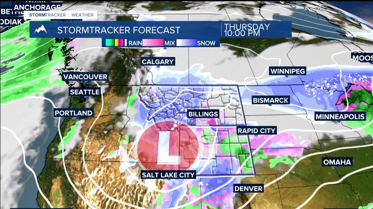
THURSDAY THROUGH FRIDAY: The week's most significant weather system makes its entrance Thursday into Friday as an upper-level low pressure system tracks across southern Montana and Wyoming. The mountains face another round of moderate to heavy snow, while the lower elevations finally get moderate to high chances of rain and snow.
There is even potential for some thunderstorm activity Thursday afternoon and evening, with a 30 to 60% chance of storms developing from Billings southward as atmospheric energy builds.
SATURDAY THROUGH SUNDAY: Tranquility returns to the region as an upper-level ridging builds in, pushing the storm track away and ushering in drier, more stable conditions for the weekend.
