

BILLINGS — TODAY THROUGH WEDNESDAY: The warm, dry pattern continues its hold on south-central Montana and north-central Wyoming through Wednesday. Temperatures will climb into the 80s and 90s across eastern Montana, while south-central Montana sees more comfortable readings in the 60s and 70s.
This extended warm spell, combined with low humidity and increasing winds, creates elevated fire weather conditions. The spring green-up helps reduce grass fire risk in some areas, but any spark could still cause problems. Take extra care with outdoor activities that could ignite fires.
Expect strengthening breezes Wednesday as our next weather system approaches. Expect southerly to southwesterly gusts in the 20s and 30s across most areas.
LATE WEDNESDAY THROUGH FRIDAY: A complex and impactful weather system arrives late Wednesday. The foothills west of Billings from Livingston through Big Timber to Harlowton face the strongest winds Wednesday afternoon and evening. Winds of 40 to 55 mph are likely, with occasional 60 mph gusts.
The Beartooth foothills, including the Absarokee through Red Lodge corridor, also face gusty conditions late Wednesday afternoon into evening. Expect gusts of 35 to 50 mph, with a chance of seeing gusts reach 60 mph or higher.
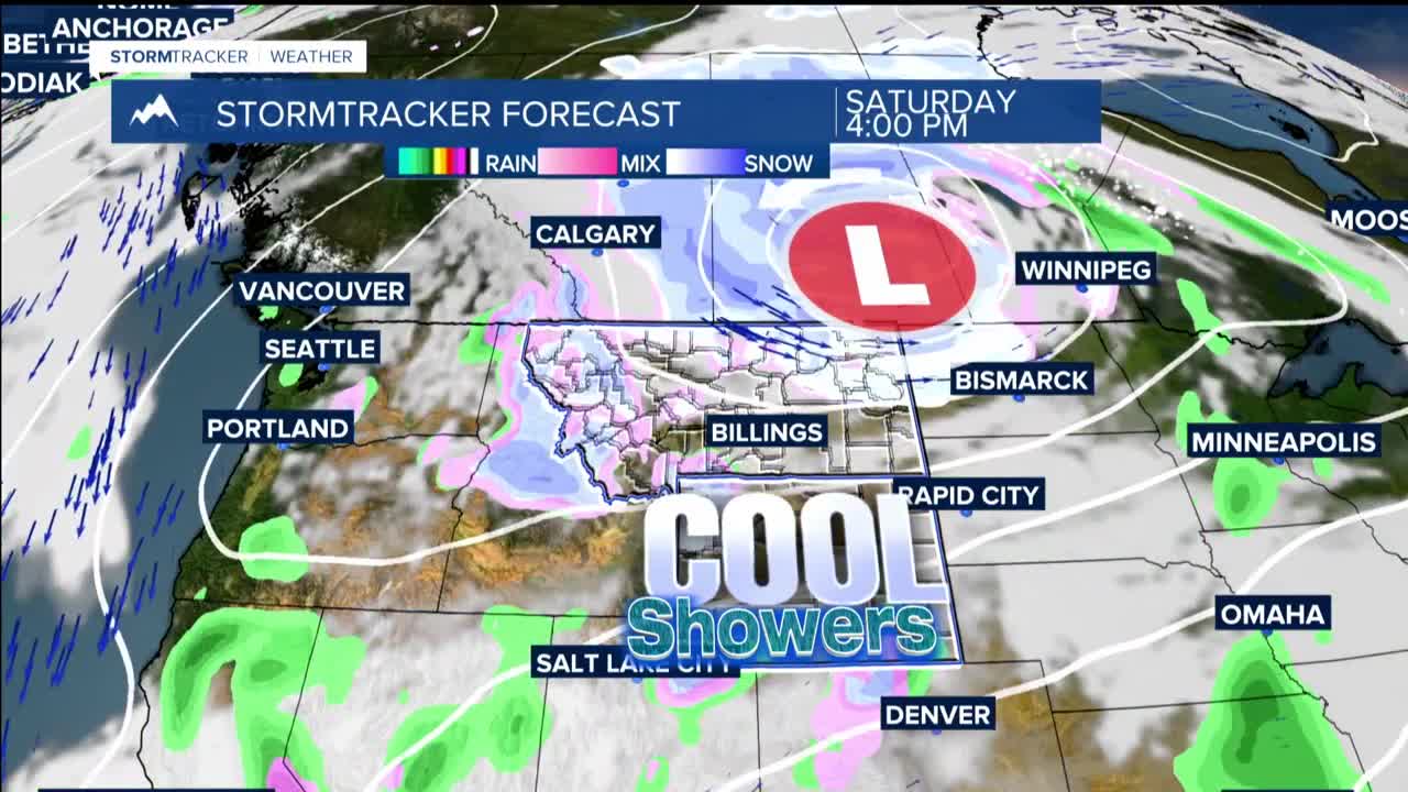
Thursday brings the main event as the upper-level, low-pressure system and its cold front sweep through. Northwesterly winds will create gusts in the 40s and 50s mph with the highest chances for strong winds in eastern Montana and north-central Wyoming. Winds finally begin to calm Thursday evening, though Friday remains breezy with northwesterly gusts in the 20s and 30s.
Precipitation starts as scattered showers Wednesday, with coverage trending lower than we initially thought. The best precipitation arrives Thursday into Friday as moisture wraps around the low-pressure system. Rain initially falls before snow levels lower to around 4,000 feet Thursday, then drop to the surface Friday. Mountains could see 6 or more inches of snow, while foothills face a chance of 3 or more inches – highest probability near Absarokee to Red Lodge.
Temperatures take a nosedive behind this system. After Wednesday's warmth, highs Thursday through early next week will struggle to reach the 40s and 50s.
