

BILLINGS — WEDNESDAY: Winds arrive first, particularly in the foothills west of Billings. Livingston and surrounding areas face the highest risk with a 20-60% chance of wind gusts exceeding 50 mph. As clouds increase, temperatures will still peak in the 60s with some low 70s from near Billings eastward.
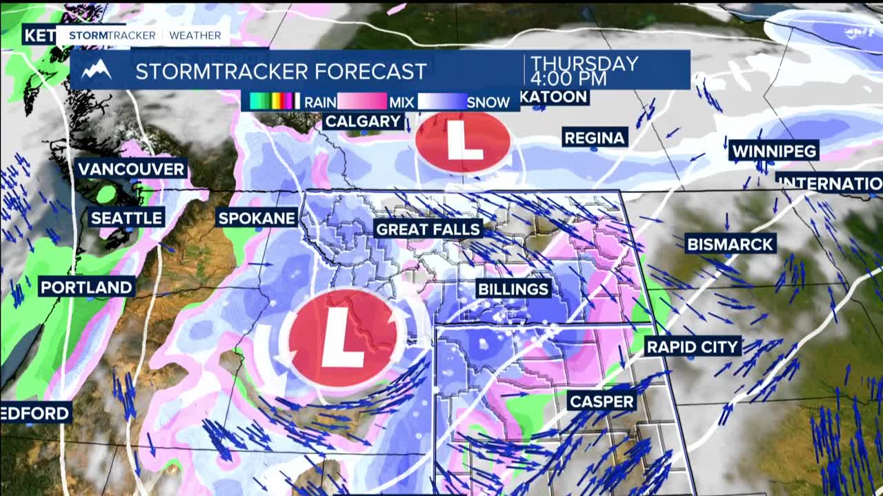
WEDNESDAY NIGHT THROUGH FRIDAY: A significant storm system makes its entrance late Wednesday, bringing widespread rain that gradually transitions to snow Thursday as a cold front sweeps through the region. The timing of this cold front remains somewhat uncertain, which affects exactly when and where the rain-to-snow transition occurs and where temperatures will end up Wednesday afternoon. Highs will be in the 30s and 40s in most places.
Lower elevations can expect an inch or less of snow accumulation with minor winter impacts. However, the mountains, especially the Absaroka/Beartooth and Crazy mountains, are on track for receiving more than 12 inches of snow. The Bighorn Mountains will see more moderate impacts with a 70-90% chance of getting at least 6 inches.
Breezy conditions spread regionwide Thursday with wind gusts in the 30s and 40s mph. Expect highs struggling to reach the 40s Friday as the cold air mass settles in. Showers wind down through the day Friday.
WEEKEND AND BEYOND: The storm system exits Friday night, allowing warmer and drier conditions to move in. Sunday brings pleasant highs in the 60s, followed by even warmer 70s Monday and Tuesday with continued dry weather.
