

BILLINGS — THROUGH TUESDAY: A cold front moving across southern Montana and northern Wyoming Monday afternoon is creating westerly wind gusts reaching 20 to 30 mph as the front pushes eastward into the Dakotas. Scattered showers and isolated thunderstorms will sweep across the region through this evening.
While these storms won't pack a severe punch, they'll still deliver brief gusty winds, small hail, and moderate rainfall with a lightning threat especially near Billings and the surrounding counties. As night falls, this initial wave of weather will gradually lose steam and move on.
WEDNESDAY THROUGH THURSDAY MORNING: Widespread gusts of 20 to 40 mph will blow widespread, but west of Billings (including Big Timber and Harlowton), winds will roar with occasional gusts reaching over 50s mph. The wind continues through Wednesday night and Thursday morning before gradually moving eastward.
Along with the wind, another round of scattered showers and weak thunderstorms targeting areas near the Montana-Wyoming border during Wednesday afternoon and evening hours. Isolated showers and weak storms will still pop up late afternoon into evening thanks to cyclonic flow aloft. Late Wednesday into Thursday, scattered to widespread light showers will fall across much of the area.
Mountain enthusiasts need to pay attention as temperatures drop low enough for snow showers above 8,000 feet, with snow levels potentially dipping near 7,000 feet tonight. This creates potential headaches for recreation and travel in high country, particularly along the Beartooth Highway through the Beartooth Mountains and Highway 14 through the Bighorn Mountains.
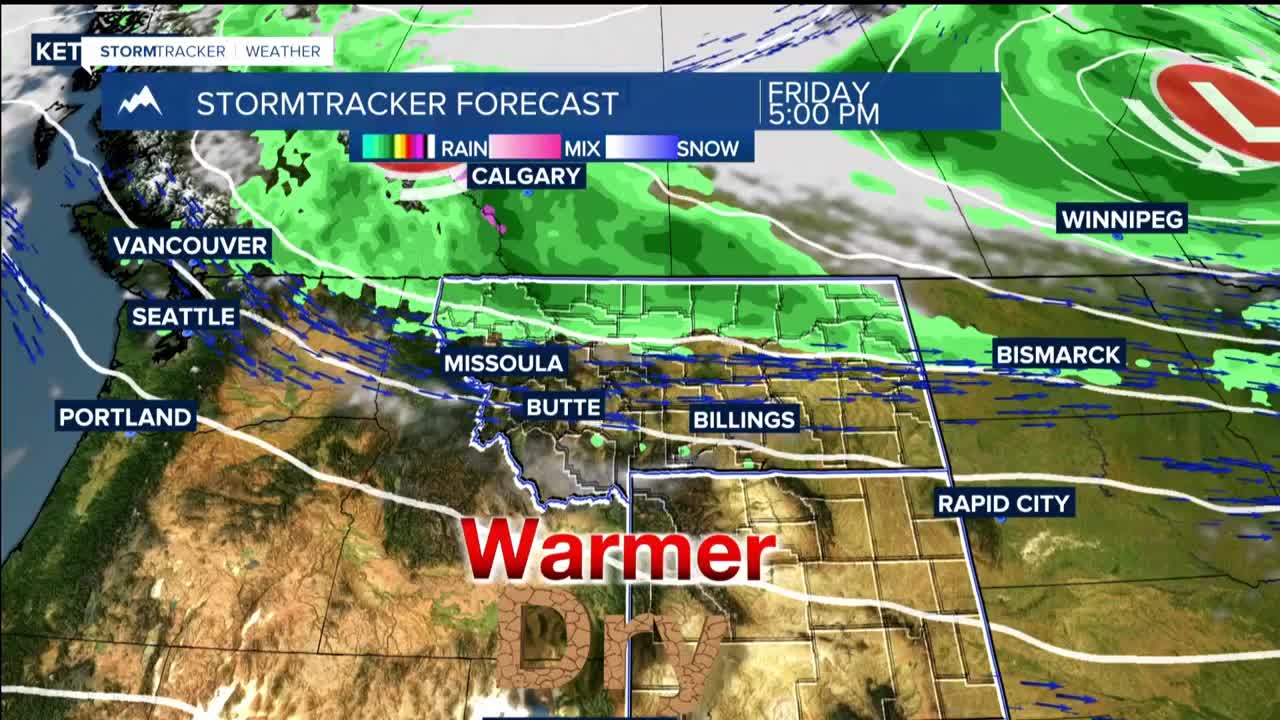
FRIDAY AND BEYOND: Additional energy waves dropping in from the northwest this weekend into early next week set the stage for another round of cooler temperatures and precipitation chances.
