

BILLINGS — THROUGH WEDNESDAY NIGHT: Light snow showers will continue across the mountains with occasional rain and snow mix over the immediate foothills through Thursday morning. Not any meaningful accumulation outside the higher elevations. Lows in the 20s to mid-30s.
THURSDAY THROUGH FRIDAY: An upper-level low pressure system moves west to east across Wyoming and southern Montana. What starts as rain for lower elevations Thursday morning will transition into a more serious winter storm with a small chance of thunderstorms Thursday evening, though nothing severe is expected. High Tursday in mid-40s to mid-50s.
The Pryor and Bighorn mountains face the brunt of this system by Thursday night, with a 75% chance of receiving at least a foot of snow. The Absaroka, Beartooth, and Crazy mountains aren't far behind, carrying a 40-60% chance of similar totals.
East of the Bighorn mountains, the higher hills and areas along I-90 from Lodge Grass south face a 50-70% chance of at least 6 inches. Billings snow amounts are trending much lower and only a 15-30% chance of more than 2 inches.
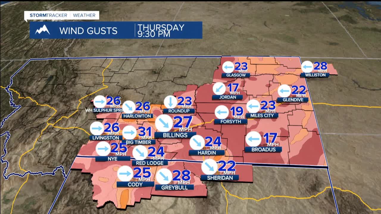
Northwest winds will increase across the region with widespread gusts of 25-40 mph. The Bighorn foothills face the most dangerous conditions Friday morning through afternoon, where there's a 40-70% chance of gusts exceeding 50 mph. Combined with falling snow, these winds will create blowing and drifting conditions that could significantly reduce visibility.
This combination of wet, cool, and windy conditions creates particularly hazardous situations for young livestock. Travel impacts are likely, especially across mountain passes and higher elevation roadways.
WEEKEND AND BEYOND: As the storm system departs late Friday into early Saturday, high pressure builds over the region, allowing in a much more pleasant pattern. Temperatures climb into the 50s and 60s by Sunday, while dry conditions return to dominate the forecast.
