

BILLINGS — TODAY THROUGH WEDNESDAY: A pleasant stretch of seasonably cool weather kicks off the period as high pressure keeps things calm and dry. Tuesday brings the coolest temperatures of the forecast with highs struggling to reach the low to mid 70s after a chilly start this morning.
Wednesday stays on the cooler side with highs again in the low to mid 70s, but a weak weather system approaching from the west introduces the first signs of change. Mountain and foothill areas could see some scattered showers and weak thunderstorms develop during the afternoon and evening hours, though most valley locations stay dry. Easterly winds will help keep temperatures in check.
THURSDAY: Moisture begins flowing back into the region ahead of another approaching storm system. The combination of increasing instability and wind shear creates favorable conditions for severe thunderstorm development. While details remain uncertain, the threat appears significant enough to warrant close monitoring throughout the day.
Temperatures climb slightly into the 70s as southerly flow brings warmer air, but the focus shifts to storm potential rather than heat. Anyone with outdoor plans Thursday should stay weather aware and have multiple ways to receive warnings.
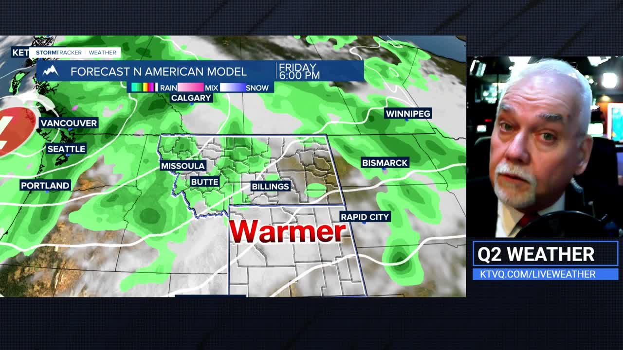
FRIDAY THROUGH MONDAY: A powerful storm system approaches from the Pacific Northwest and sets up shop over the northern Rockies. Friday marks the beginning of the active period and likely the warmest day of the stretch with highs reaching the mid 70s to mid 80s. However, severe thunderstorms are possible during the afternoon and evening.
Saturday continues the severe weather threat as the storm system maintains its grip on the region. Rounds of thunderstorms are expected with some potentially reaching severe criteria.
Sunday brings a dramatic shift as the system's cold front sweeps through, ushering in much cooler air and strong winds. The western foothills bear the brunt of the wind threat, with gusts potentially reaching significant levels. High elevation areas of the Beartooth-Absaroka and Crazy Mountains could see snow.
Monday extends the unsettled pattern with continued chances for precipitation, strong winds, and below-normal temperatures before the system finally begins to weaken and lift northward.
