

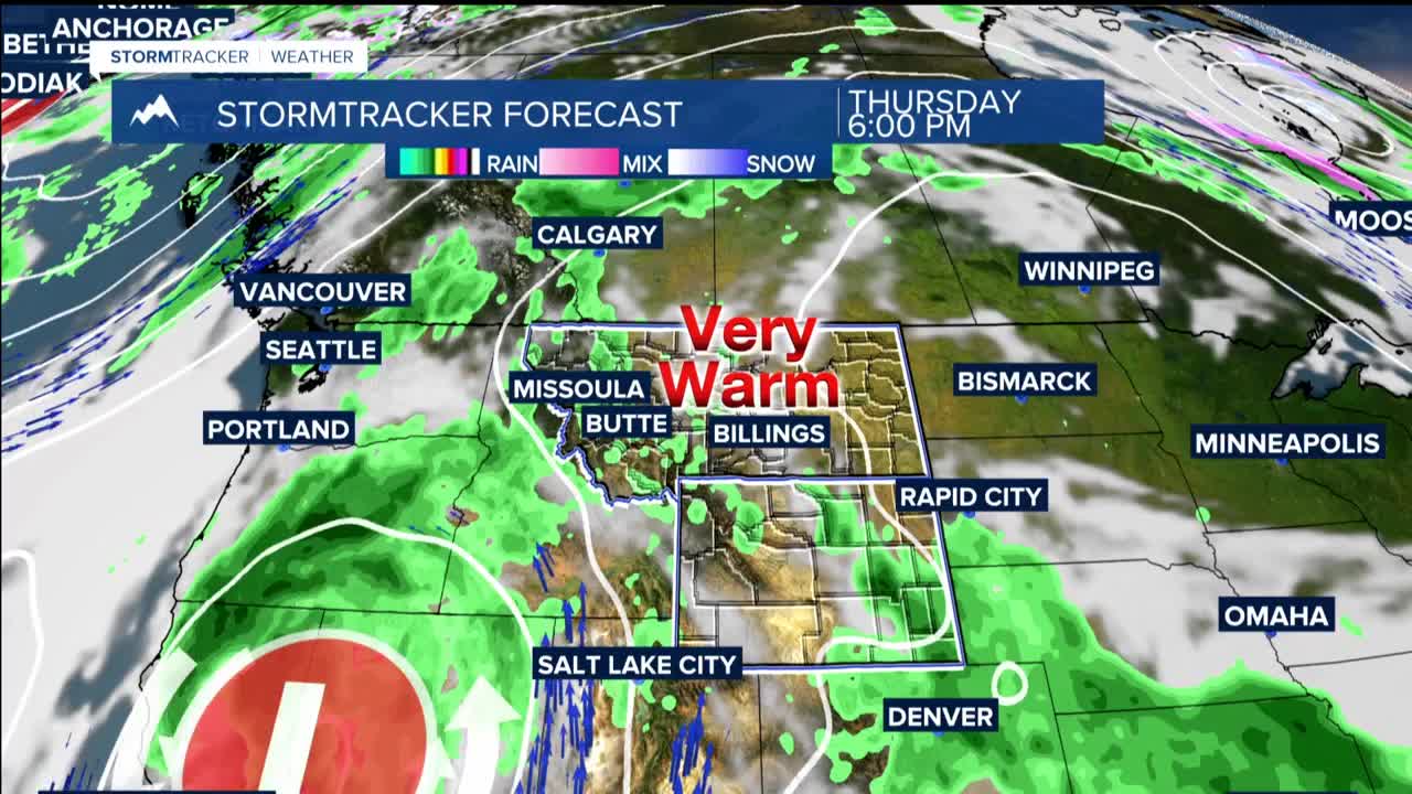


BILLINGS — TODAY THROUGH FRIDAY: Persistent heat with temperatures climbing into the 80s and 90s each day. East of Bilings will see the hottest conditions as high pressure maintains its grip on that side of the region. Meanwhile, upper level energy streaming in from the southwest keeps the door open for daily thunderstorm development.
Expect breezy conditions east of Billings each afternoon, with wind gusts reaching 20 to 40 mph at times. Afternoon and evening thunderstorms will pop up mainly over the mountains and areas west of Billings, with chances ranging from isolated to scattered coverage.
While most storms will be garden variety, single cell storms, some could turn strong to severe with gusty winds and moderate rainfall. The threat remains marginal, but anyone with outdoor plans should stay weather aware.
WEEKEND INTO EARLY NEXT WEEK: The persistent heat pattern finally breaks down as low pressure tracks from California through the Great Basin and into the Northern Rockies. This represents a significant pattern shift that should bring welcome relief from the heat.
Temperatures will drop noticeably into the 70s, providing the first real break from summer heat in days. More importantly, shower and thunderstorm chances increase substantially across the entire region. The cooler air mass and increased atmospheric energy create a much more active weather environment.
