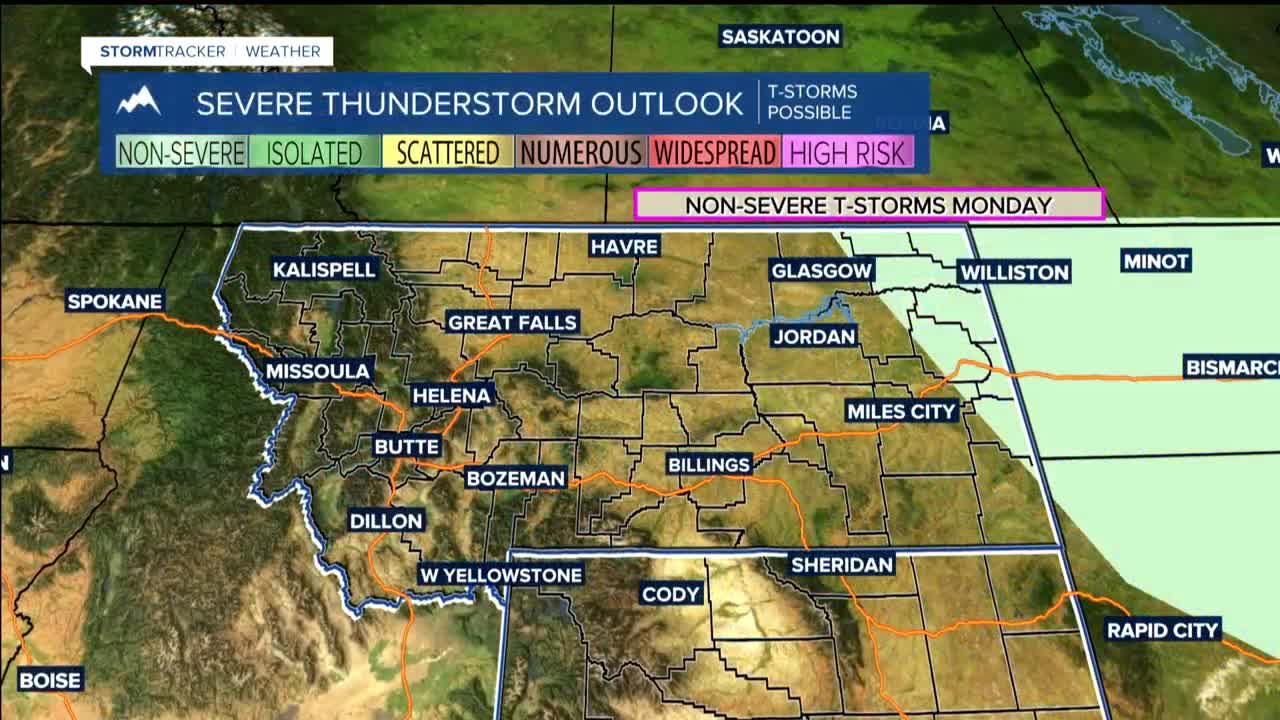


BILLINGS — THROUGH TUESDAY: Warming and mostly dry conditions take center stage through Tuesday. Temperatures will climb to 70s to lower 80s Monday, then push into the 80s on Tuesday as the warming trend peaks. Isolated showers affect far eastern Montana where occasional weak waves will brush through the region.
Breezy conditions will be the other story to watch. Monday, areas east of Billings could reach northwest wind gusts of 20-40 mph, with the strongest winds near the Dakota border. Tuesday cranks up the wind even more as a stronger weather system approaches, with westerly winds hitting hardest along the western foothills with gust of 40 to 50 mph.
WEDNESDAY: A cold front makes its entrance Tuesday night and sweeps through the region. This system will cool temperatures back down to near normal with highs settling into the 70s to near 80 degrees. Expect breezy northwest winds to spread across the entire area, with the strongest gusts again east of Billings and down the east side of the Bighorns. There's a moderate chance for wind gusts reaching 50 mph in these areas.
More importantly for outdoor plans, this front brings our best chance for showers and thunderstorms, with 20-60% coverage mainly targeting north and east of Billings. The storm activity should peak Wednesday into Wednesday night as the front moves through.
THURSDAY THROUGH SATURDAY: Occasional pieces of energy will continue moving through the northwest flow of Thursday and Friday, keeping isolated afternoon and evening shower and thunderstorm chances alive, though we're looking at 20% or less coverage.
The weekend could see a shift toward more active weather as upper-level troughing moves onto the West Coast Friday into Saturday. This would establish southwest flow over the northern Rockies, potentially bringing daily thunderstorm chances as shortwaves lift into the region and plains moisture gets pulled into the area.
Temperatures will remain near normal through this period, with highs consistently in the 70s to near 80 degrees.
