

BILLINGS — THROUGH TONIGHT: Unsettled weather remains across Montana as a broad upper-level low churning out showers and thunderstorms. The most concerning activity will be over far eastern Montana, particularly Fallon and Carter counties, where the atmosphere is primed for severe weather development during the evening.
These storms could produce damaging winds, large hail and downpours before racing eastward into the Dakotas.
Tonight could bring a cluster of storms that may develop over the Bighorn Mountains during the early evening hours. This cluster could march northeasterly across southeastern Montana through late tonight, potentially producing strong to severe storms along its path.
WEDNESDAY: As the upper-level low finally begins to exit away from our area, conditions will settle down considerably. The day won't be completely quiet, with isolated to scattered afternoon showers still possible as residual moisture combines with lingering atmospheric instability.
While a weak thunderstorm can't be ruled out, the severe weather threat drops significantly. Temperatures will remain comfortable in the 70s.
THURSDAY: By Thursday, a new weather pattern emerges as southeasterly winds increase Wednesday night and continue gusty through Thursday. The Storm Prediction Center has already highlighted southeastern portions of our forecast area with a slight risk for severe weather Thursday.
The setup becomes particularly concerning from Billings eastward into the Dakotas, where high moisture convergence combines with a weak atmospheric disturbance to fuel potentially strong afternoon and evening thunderstorms. Be weather aware!
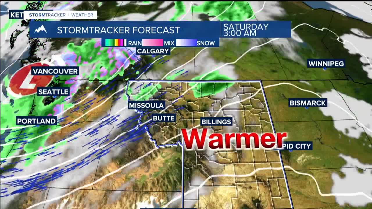
FRIDAY THROUGH WEEKEND: High pressure builds overhead, and a warming trend that will become quite noticeable. Temperatures climb from the comfortable 70s on Wednesday and Thursday to potentially reaching the mid-90s by Saturday.
But this heat wave won't last long. A powerful Pacific storm system with strong southwest winds aloft will transport energy and moisture deep into Montana, creating prime conditions for shower and thunderstorm development.
Saturday night into Sunday, the arrival of a cold front will provide the trigger for what could be a classic severe weather setup.
