

BILLINGS — THROUGH TONIGHT: Scattered snow showers are occasionally dropping visibility as they make their exit. Patchy fog is possible, especially targeting Sheridan County, Wyoming. If you're traveling through that area late Monday night or early Tuesday morning, keep your headlights ready and speeds reasonable.
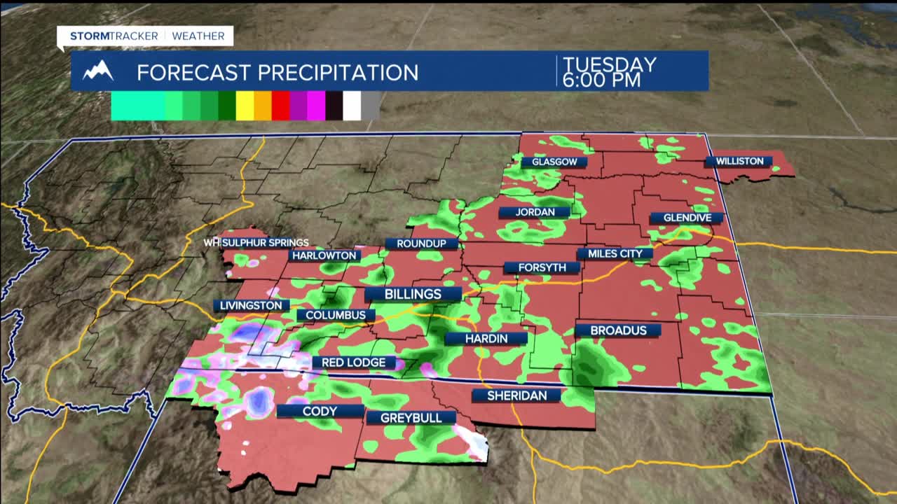
TUESDAY THROUGH WEDNESDAY: Any stubborn fog lifts with the sunrise and westerly downslope winds sweep in. Morning temperatures will be mainly 20s. Both Tuesday and Wednesday, daytime highs will be in the seasonal range of upper 40s to lower 60s, while diurnal instability stirs up enough energy for isolated to scattered showers or thundershowers each day.
Snow levels hover around 5,000 to 6,000 feet during the day, meaning lower elevations see mostly rain, but don't be surprised if graupel makes a brief appearance with any modest convection. Brief gusty winds could reach 30 to 40 mph with stronger cells. Mountain areas should prepare for a few inches of fresh snow.
THURSDAY THROUGH FRIDAY: Upper-level ridging slides into the region, ushering in warmer and drier conditions. Thursday might see one last subtle wave produce a few isolated light showers near the mountains and foothills, but not a serious weather assault.
WEEKEND OUTLOOK: The forecast models disagree on how the upper-level ridge will break down, with areas of low pressure lurking to our southwest and northeast. The ridge appears destined to eventually weaken, which would allow precipitation chances to return. If you have outdoor plans or travel scheduled for the weekend, keep monitoring the forecast as conditions could change.
