

BILLINGS — THROUGH TUESDAY: A cold front crashes the party, bringing cooler temperatures and breezy north winds. Scattered showers across the region don't bring much accumulation in the lower elevations. But the Beartooth and Absaroka ranges could see 8-10 inches of snow through Tuesday night.
Breezy conditions continue south of Billings and across southeast Montana with north wind gusts punching 20-35 mph. Tuesday brings another round of isolated to scattered showers as more mid-level energy pushes through, but again, lower elevations won't see much action with less than a tenth of an inch expected.
TUESDAY NIGHT THROUGH WEDNESDAY: Morning lows Tuesday and Wednesday will crash into the mid-20s to mid-30s across the region, bringing a freeze threat. Protect any temperature sensitive plants and take necessary precautions.
The foothills southwest of Billings may see a rain-snow mix situation with a possible transition to all snow overnight. There's about a 30% chance these higher elevation areas could pick up at least an inch of snow through Wednesday morning.
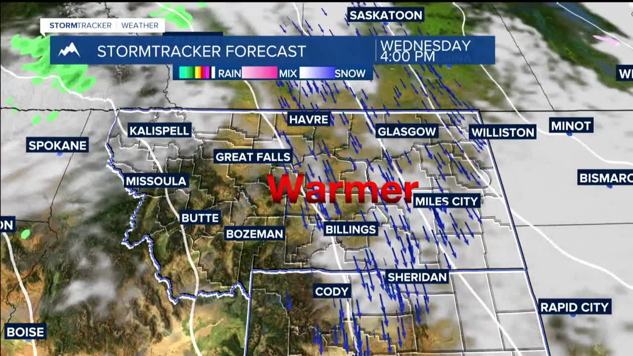
THURSDAY THROUGH WEEKEND: Highs start in the 40s and 50s Tuesday, then warm progressively through the week, reaching the 60s and low 70s by weekend. Additional waves of energy Thursday through Saturday could spark some weak afternoon instability with a modest chance for thunderstorms.
