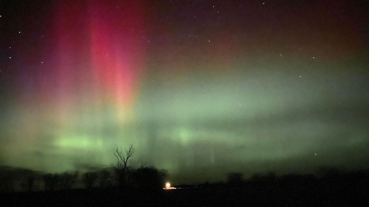
The NOAA Space Weather Prediction Center has issued a G1 geomagnetic storm watch for Tuesday night and a G2 geomagnetic storm watch for Wednesday night. That means the aurora borealis may be visible in portions of Montana from Tuesday night into Wednesday morning and again from Wednesday night into Thursday morning.

A high speed solar wind stream will likely arrive at Earth on Tuesday, which may lead to G1 storm levels. A coronal mass ejection (CME) that was launched from the sun on Sunday will potentially arrive at Earth on Wednesday, and this will likely produce an escalated geomagnetic response, which may lead to G2 storm levels.
The geomagnetic activity level is represented by the Kp number. The larger the Kp number is, the stronger the aurora borealis is, and the further south the aurora borealis can be seen. Currently, the Kp number is expected to be around five Tuesday night into Wednesday morning, and around six Wednesday night into Thursday morning. Wednesday night is when more of Montana will have a chance to see the aurora borealis, while Tuesday night's aurora borealis viewing will likely be confined to Canada and locations along the international border.

Cloud cover can inhibit the viewing of the aurora borealis, but luckily for Montana, mostly to mainly clear skies are in the forecast for Tuesday night and Wednesday night. If anything, the haze will probably ruin the aurora borealis viewing more than the clouds will.
Also, please know that the aurora borealis is hard to predict, and the geomagnetic storms may end up being stronger or weaker than what is currently forecasted. The timing of the impact of the fast moving charged particles from the sun may also change, which could impact the timing to view the aurora borealis.
In order to get the best viewing, make sure you are as far away from city lights as possible.
Two good resources for knowing when the Aurora Borealis might be visible in our area are the Space Weather Prediction Center and Soft Serve News.


