
Temperatures peak Wednesday afternoon before we take a ride on the temperature roller coaster.
Hot, dry and breezy at times today with high temperatures mainly in the upper 80s to mid 90s. Average in late August would be in the mid to lower 80s.
Expect plenty of sunshine and a variable wind that could gust up from time to time. The combination of very warm temperatures, low humidity, and periodic winds increases wildfire risk somewhat. Use care where sparks or fire are a concern.
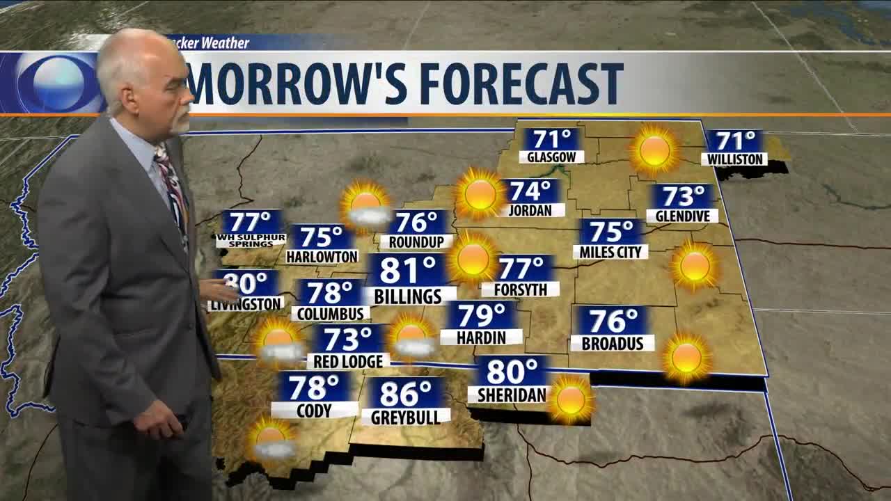
A cold front slips through the area tonight heading into Thursday, driving temperatures back to the upper 70s to low 80s. By the evening hours, chance of showers and thunderstorms will develop across the region that could linger through Friday morning.
Highs on Friday will again be mainly in the upper 70s to mid 80s, but begin a warm-up to the 80s and 90s over the loop Labor Day weekend. Temperatures could be especially warm on Sunday, once again hitting the mid to lower 90s.
Starting Tuesday, temperatures will again slip back to the 70s and low 80s.
Billings forecast:
Wednesday… Sunny and dry with winds shifting from the Southwest to Northwest during the late afternoon and evening. A high of about 93.
Wednesday night… Mostly clear with a low around 56.
Thursday… Increasing clouds with a high near 81. A chance of showers and thunderstorms by the late afternoon and evening.
