

BILLINGS — It is a cloudy sky and cooler temperature that greets us this Wednesday afternoon in Billings.
At 2 p.m., the temperature was 30 degrees with a northwest wind at 14 mph that gave us a wind chill temperature that felt like 20 degrees.
Around the rest of the state, temperatures are mostly into the 20s and 30s east of the Divide. Although on the outside of the mountains, we were in the 40s at Kalispell and Missoula.
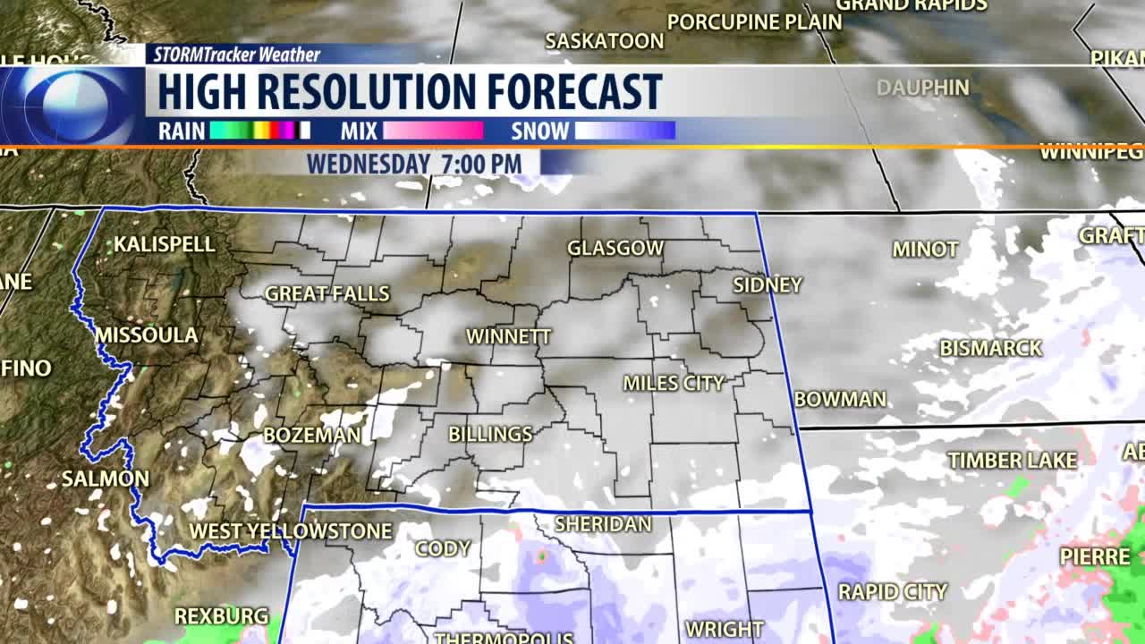
The Doppler radar and satellite imagery shows a few lingering snow flurries across south-central Montana, and they were dropping down into Wyoming to be whisked away by the jet stream into the high plains.
That's exactly what our high-resolution forecast model was showing Wednesday afternoon. Most of the heavier snow continues to stay to our south in Wyoming.
By Thursday morning, just a few cloudy skies are all that are left in Billings and south-central Montana.
Eventually the sun will come out Thursday afternoon and then stick around for Friday afternoon.
Our temperatures will remain cool for another 24 hours, mostly in the 30s for highs and 20s for lows.
But eventually those temperatures will start warming up into the upper 30s on Thursday, upper 40s Friday and into the low 50s over the weekend.
However, a new cold front will cool us down at the beginning of next week, and we might even see some more snow.
BILLINGS FORECAST
TONIGHT: Mostly cloudy with a 20% chance for evening snow flurries and colder. Northeast winds 5 to 15 mph, shifting to the southwest overnight. Low 34 degrees.
THURSDAY: Mostly sunny and getting a little but warmer. Southeast winds 5 to 10 mph. High 37 degrees.
FRIDAY: Mostly sunny and warmer. Southwest winds 10 to 20 mph. High 48 degrees.
