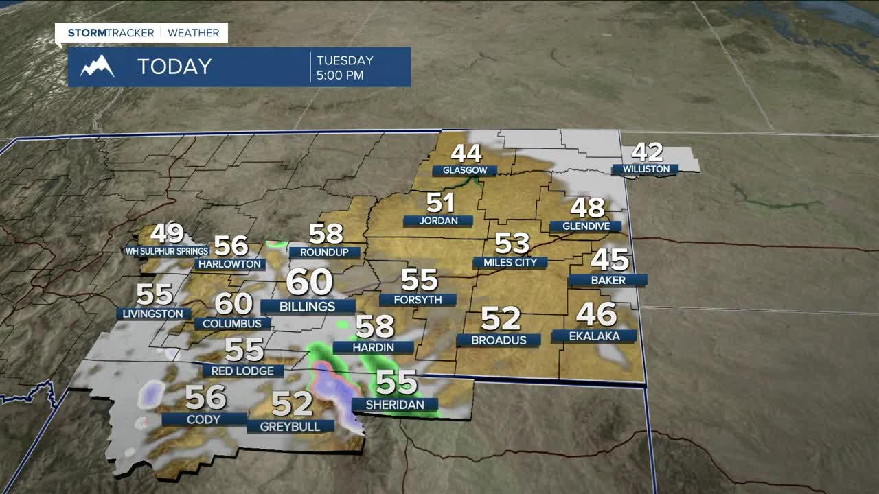


BILLINGS — Strong winds continue Tuesday morning as a shortwave and weak front move through, with gusts up to 60–65 mph likely over the foothills west of Billings. The High Wind Warning and Wind Advisory remain in effect through 11 AM Tuesday. Elsewhere, gusts of 20–40 mph (possibly stronger) are expected. Winds diminish as the day progresses into the evening.
The shortwave will also bring precipitation to eastern Montana and northern Wyoming on Tuesday. Rainfall amounts could range from a trace to less than a quarter inch, while the Bighorns could receive 2–6 inches of snow near 7,500 feet, impacting travel and recreation. Downslope flow will keep south-central Montana dry.
Wednesday remains warm with highs in the 40s to lower 60s. Billings could break a record with a forecast high of 61° (record: 60° in 1995). Winds will be lighter early, but a Chinook setup may bring gusty winds back to the western foothills late Wednesday into early Thursday, with gusts up to 50 mph possible.
Thursday turns windy again as two cold fronts move through. The strongest winds are favored across eastern Montana and northern Wyoming, where there is a moderate to high chance of 50 mph gusts, especially with the second front late Thursday. Light snow is possible near the Montana–Dakotas border Thursday night into Friday, with minimal accumulation but potential for blowing snow.
Friday into early next week, ridging brings above-normal temperatures and mostly dry conditions, with occasional weak systems briefly moderating temperatures.
Miller Robson
Q2 Morning Meteorologist
miller.robson@ktvq.com
