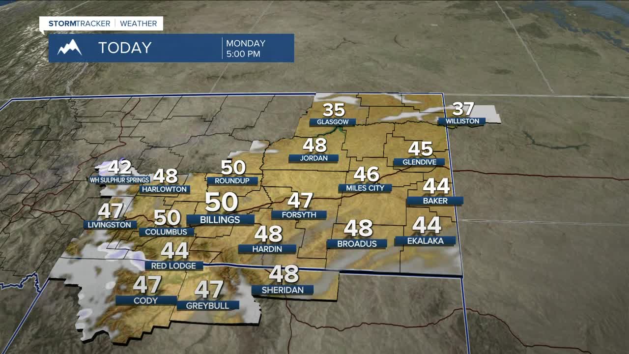
BILLINGS — A few weak disturbances and Pacific moisture will keep a slight chance of precipitation around today. A stronger system and cold front move in late tonight into Tuesday, bringing a rain/snow mix to the plains early Tuesday with little to no accumulation expected. In the mountains, periods of light to moderate snow continue, with a 50% chance of at least a foot of snow on south- and west-facing slopes of the Absaroka/Beartooth Mountains.
Winds ramp up Tuesday, especially along the western foothills, as the front moves through. Strong gap winds are likely from the Livingston–Nye area through Big Timber and toward Judith Gap, with gusts over 60 mph possible Tuesday afternoon into Wednesday.
Across the plains, breezy conditions are likely Tuesday and Wednesday, with Wednesday the windiest, and gusts over 30 mph likely. With above-normal temperatures, dry fuels, and limited recent precipitation, there is an increased concern for grass fires.
The pattern stays unsettled through Friday, with continued rounds of mountain snow and occasional light rain/snow during the day and snow showers at night for lower elevations. Temperatures will gradually cool, but remain near to slightly above normal. By the weekend, a ridge builds back in, bringing drier weather and a warming trend.
Highs reach the mid-40s to low-50s today and Tuesday, cool into the 30s to low-40s by Friday, then warm back into the mid-40s to low-50s by Sunday.
Miller Robson
Q2 Morning Meteorologist
miller.robson@ktvq.com


