


BILLINGS — Windy conditions are expected today through Friday across the region. The strongest winds are forecast near the Montana–Dakotas border, along the east side of the Bighorn Mountains, and through Judith Gap, where gusts could approach 60-65 mph.
In addition to the wind, light snow combined with strong gusts may impact portions of eastern Montana tonight into Friday morning. At times, visibility could drop below one mile, especially in open areas where blowing snow develops.
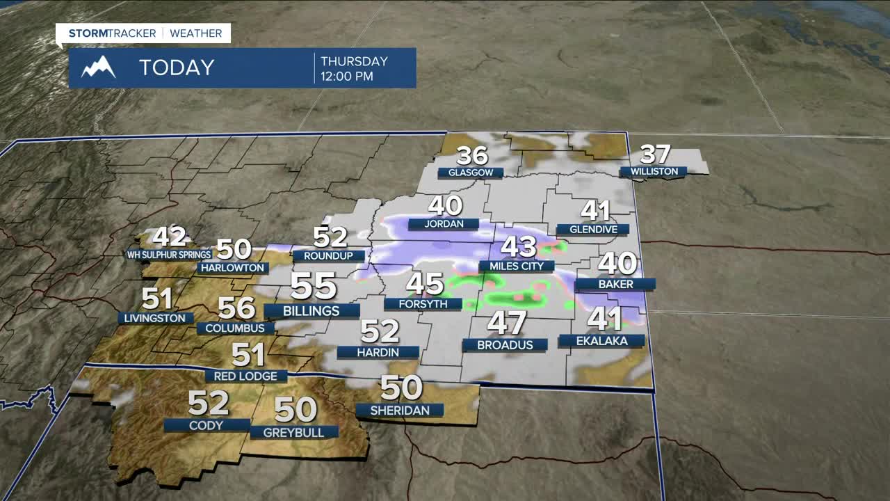
Farther west, light to moderate snowfall is expected along the southern foothills this afternoon and evening. While snowfall totals are modest—generally 0.5 to 2 inches—minor impacts to the evening commute are possible.
Friday will be the coldest day, with highs ranging from the 20s to near 40°, coldest across far eastern Montana. Temperatures will begin to rebound Saturday, especially across south-central Montana, as downslope flow strengthens ahead of the next system expected late Saturday into Sunday. This system is expected to send another backdoor front through the region, increasing winds and bringing another chance for precipitation, with the highest near the Bighorn and Pryor Mountains. Those with travel or outdoor plans on Sunday should continue to monitor forecast updates.
Northwest flow aloft looks to dominate early next week, maintaining a generally dry pattern while still allowing for occasional embedded shortwaves, potentially around Monday and again midweek.
Miller Robson
Q2 Morning Meteorologist
miller.robson@ktvq.com
