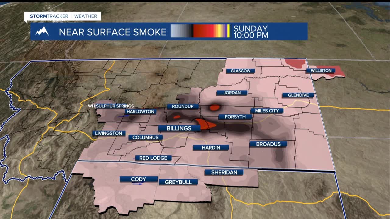


BILLINGS — Through Monday night, smoke and haze will dominate the skies over the region, likely leading to poorer air quality. Smoke is blowing in from fires in western Montana and from parts of the West Coast.
Showers and thunderstorms are possible Sunday evening, especially near the Beartooth and Absaroka mountain ranges, but any rain should be light. Monday morning temperatures will be mainly in the 50s.
A low pressure trough moves in faster than we earlier thought, bringing chances of rain and thunderstorms across the western half of the area by Tuesday evening. From Wednesday through Friday, a broad low-pressure system parked in the southwest U-S will keep a warm, unsettled southwest-flow pattern over the region for several days.
Expect daily chances of showers and thunderstorms, with some being stronger in eastern Montana later in the week. There could be significant storm energy and moisture, which raises the potential for stronger storms on multiple days. Temperatures trend cooler, dropping from manly 80s to 70s for highs, for the second half of the week.
Two weather systems may interact in a way that keeps unsettled weather around through the weekend and into the middle of the month with more chances of rain and storms as these systems move around each other.
