


BILLINGS — A Severe Thunderstorm Watch is again in effect for Tuesday evening over a large portion of south central Montana, including Yellowstone County and Billings. That means there is the potential for severe storms that could produce winds in excess of 60 mph and/or large hail. A watch is a good time to take care of personal property, like putting the car in a garage, and reviewing a plan in case severe storms hit.
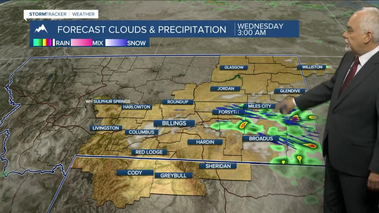
For eastern Montana, Custer, Fallon and Carter counties have been hit with very heavy rains in the last several days and the ground is becoming saturated in some areas. This could lead to localized flash flooding if another round of heavy rain hits the same areas.
The possibility of more severe storms exists over the next several days in eastern Montana and northern Wyoming. Highs will be mainly in the 80s with lows in the 50s and low 60s.
There is less chance of severe storms, but the afternoon and evening storms will continue into the weekend.
