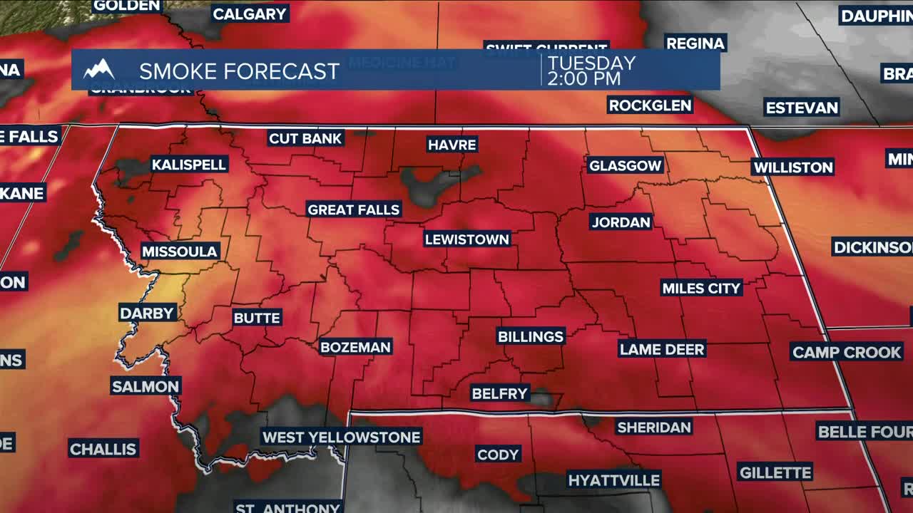


BILLINGS — Skies will remain hazy to smoky for at least another day as dry conditions persist across most of the area on Tuesday, with highs mainly in the mid-80s. Southwest flow will bring scattered showers and isolated thunderstorms to our western counties, including the mountains, late in the afternoon through the evening.
Wednesday will bring a good bit of cloudiness and hazy skies. There is a chance of showers and thunderstorms, mainly in southern MT and northern WY. Daytime highs will be in the mid-80s to around 90°.
By Thursday, troughing will maintain southwesterly flow, keeping a chance of daily showers and thunderstorms through the weekend. We’ll need to keep watch for the possibility of strong storms on Wednesday and Thursday in southeast MT.
Models are forecasting a bigger push of moisture streaming into the area on Friday and Saturday. Depending on the evolution and track of the system, much of the area could get over half an inch of rain over those two days. Cooler air will also move in.
Daytime highs will be mainly mid to upper 80s on Thursday, mid-70s to low 80s on Friday, low 70s on Saturday, low to mid-70s on Sunday, then mid-70s to near 80° on Monday.
Nighttime lows will be mainly in the 40s and 50s through the weekend.
Miller Robson
Q2 Morning Meteorologist
miller.robson@ktvq.com
