


BILLINGS — Strong northwest flow sets up Friday as an upper low dives into the Midwest and a ridge builds over the Mountain West through the weekend. A few weak disturbances will bring light, persistent snow showers to the mountains, with minor accumulations—generally up to 2 inches.
The main impact Friday through Saturday (possibly Sunday) will be wind. Breezy to strong winds continue across the western foothills and gap areas west of Billings. Expect gusts between 45–60 mph across the Livingston to Nye area, where a Wind Advisory remains in effect through 11 AM Saturday. Gusts between 30–50 mph are likely along the US-191 corridor, with a few higher gusts possible near Big Timber and Harlowton. Breezy conditions will also spread across the plains Friday through Sunday, with gusts mainly in the 20s to 30s mph.
As the ridge shifts east Saturday, another disturbance may bring light snow to the far eastern counties. Minor accumulations are possible Saturday morning, with trace to one inch possible in Carter and Fallon Counties. Impacts look limited, but use caution if traveling early.
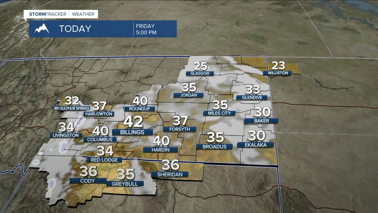
Temperatures stay in the 30s and 40s Friday, then warm through the weekend. Highs Saturday range from the 30s east to near 50 west, with 40s and 50s Sunday.
By Monday, the ridge flattens and much warmer temperatures return, with highs in the 50s to 60s. Enhanced wind gusts could return due to stronger northwest flow, especially along the US-191 corridor and gap locations.
Ridging rebuilds midweek, keeping conditions warm and dry, with highs in the 40s and 50s, approaching 60 degrees Tuesday and Wednesday. Additional windy periods remain possible. Confidence is low on any meaningful pattern change late next week, though a few models hint at a trough trying to break through—still very uncertain.
Miller Robson
Q2 Morning Meteorologist
miller.robson@ktvq.com
