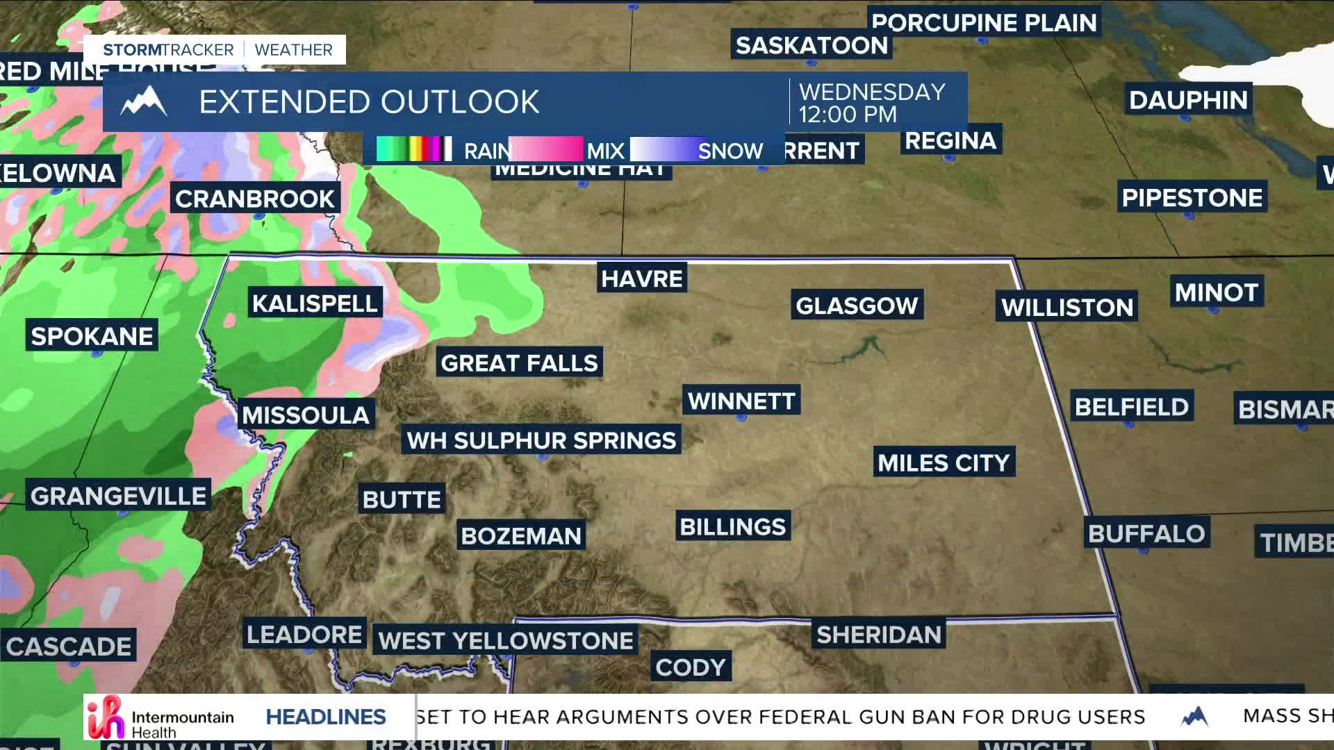


BILLINGS — We can expect mainly quiet weather through the middle of the week, although a weak disturbance could bring light snow to the mountains south of Billings and possibly rain/snow to the Absaroka, Beartooth, and Bighorn Mountain foothills. Daytime highs will be in the 50s and 60s through Wednesday.
Ahead of a cold front, winds will increase over the western foothills Wednesday morning, with gusts up to 60 mph (possibly higher) through the afternoon. Advisories may be warranted.
The cold front is forecast to move through late Wednesday into Thursday, bringing slightly cooler temperatures, breezy winds, and 4 to 8 inches of mountain snow down to 4,000 feet (with up to 12 inches across west-facing slopes). Lower elevations could pick up a few tenths of an inch of rain, although up to a quarter inch could accumulate over south-central Montana and northern Wyoming.
Another quick disturbance could sweep through Friday, bringing additional light snow to the mountains and foothills.
Dry conditions are on tap for the weekend, with breezy to windy weather, especially over the western mountains and foothills.
Behind the cold front, daytime highs will be mainly in the 40s and 50s Thursday through Saturday before warming back into the 50s and 60s on Sunday.
Miller Robson
Q2 Morning Meteorologist
miller.robson@ktvq.com
