


BILLINGS — Building high pressure will keep dry, warmer-than-average conditions locked in through Saturday. A Pacific trough/cold front will move in by early Sunday, bringing gap-flow winds late Friday night, with gusts over 50 mph likely around Livingston and Nye, and lower chances for Big Timber and Harlowton through Saturday night and possibly into Sunday.
Unsettled weather arrives Sunday through Tuesday, with cooler, wetter, and breezy conditions behind the front. Models are trending downward, with much of the area seeing little to no rain accumulation. Parts of south-central MT and north-central WY may have a slightly better chance of receiving a tenth of an inch of rain. The Beartooths and Absarokas could pick up well over 6 inches of snow; the Bighorns up to 6 inches; the Crazies over 6 inches; and the Pryors a couple of inches.
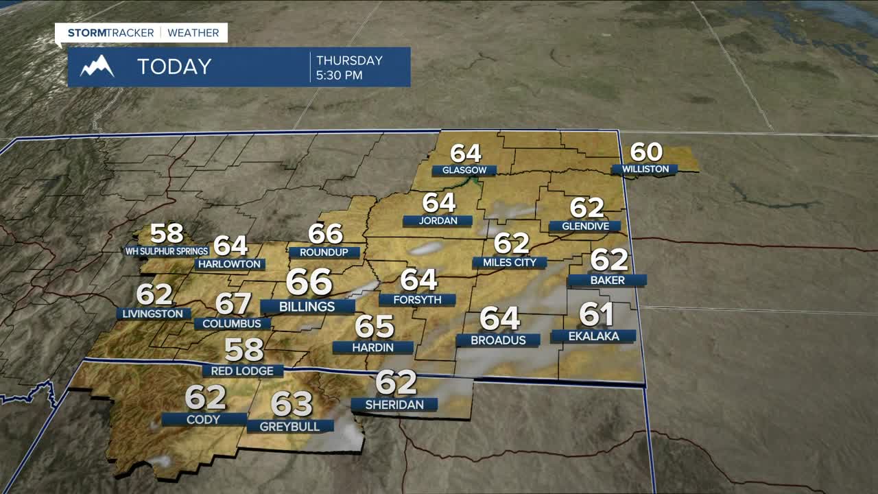
Daytime highs will be in the low to mid 60s on Thursday, mid to upper 60s on Friday, mid 60s to low 70s on Saturday, mainly mid to upper 50s on Sunday, upper 40s to low 50s on Monday, mid to upper 40s on Tuesday, then low to mid 50s on Wednesday.
Nighttime lows will be in the mid to upper 30s on Thursday night, mid-30s to mid-40s on Friday night, mid-30s to low 40s on Saturday night, upper 20s to low 30s on Sunday and Monday nights, then low to mid 20s.
Miller Robson
Q2 Morning Meteorologist
miller.robson@ktvq.com
