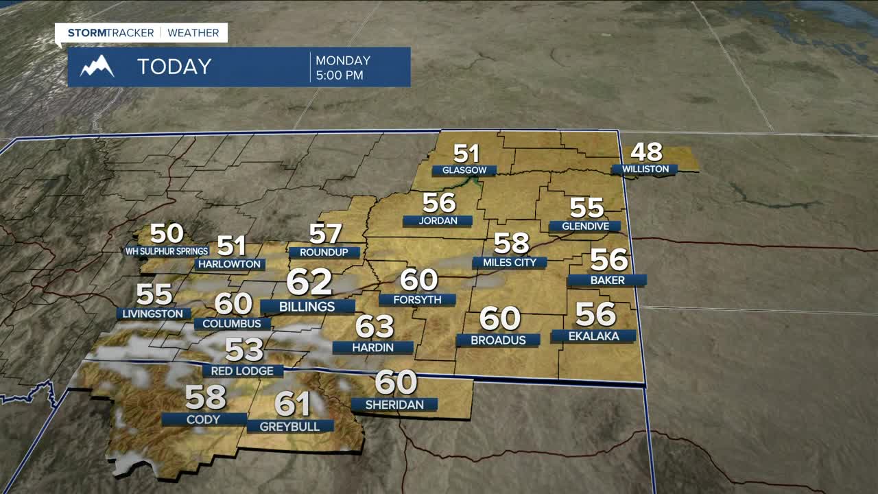


BILLINGS — Expect warmer-than-average temperatures on Monday, with highs in the mid-50s to low 60s. Winds will be breezy to windy, with gusts between 30–40 mph along the foothills and 15–25 mph elsewhere. Due to the warmth, dryness, low humidity, and wind, grass fire concerns will be slightly elevated. Don’t cause a spark!
A disturbance from the Great Basin will bring a chance of light mountain snow and lower-elevation rain/snow Monday night through Tuesday, ahead of a strong cold front that will drop temperatures throughout the day Tuesday. Strong wind gusts between 35–55 mph are likely.
Confidence continues to grow for snow in the lower elevations Wednesday night and Thursday, with much of the area having a decent chance of 1–3 inches, with the highest amounts in southern and southeastern upslope areas. Expect some travel difficulties (reduced visibility, slick roads) during this period.
Temperatures will be below average Wednesday through Friday, with highs mainly in the 20s Wednesday, teens and 20s Thursday, and 20s and 30s Friday and Saturday, before gradually warming into the 40s by Sunday as dry conditions return.
Another weaker disturbance is possible by the end of the workweek and could bring a slight chance of snow Friday and possibly Saturday.
Miller Robson
Q2 Morning Meteorologist
miller.robson@ktvq.com
