


BILLINGS — Strong southwest to west winds that are already hammering the western foothills will continue their assault through Tuesday morning and gradually decrease. Gusts reaching 45 to 65 mph that can knock over trash cans, sway large trees, and make driving difficult for high-profile vehicles.
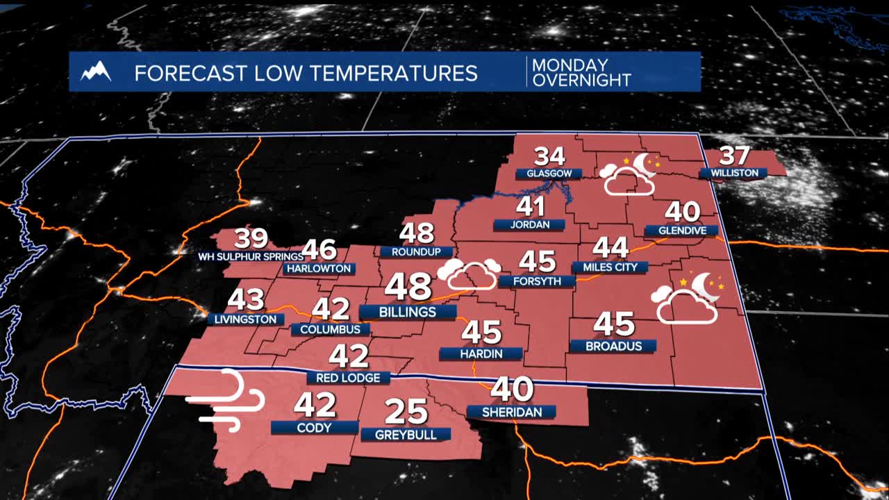
This weather pattern is concerning with the combination of wind, warmth, and dryness creating a perfect recipe for grass fires, especially near the western foothills where the winds are strongest. Temperatures Tuesday morning will be in the upper 30s and 40s with Tuesday and Wednesday reaching the upper 40s to mid-60s for the lower elevations.
Southeastern areas will catch a brief break Tuesday as a weak weather disturbance brings light rain showers, though it won't be enough to significantly reduce fire danger. The overall outlook remains dry for the next week or more.
Thursday and Friday, a Canadian cold front marches south, bringing another round of powerful winds. Areas east of Billings, including Sheridan County, should prepare for gusts exceeding 50 mph. These winds could be strong enough to cause scattered power outages and make travel challenging.
As this Canadian cool air arrives, the unusually warm temperatures will give way to a cold blast that could send wind chills near zero by Friday morning in the easternmost areas.
The forecast becomes murkier beyond Friday, bu expect temperatures to gradually climb back above normal for the weekend as the weather pattern shifts once again.
