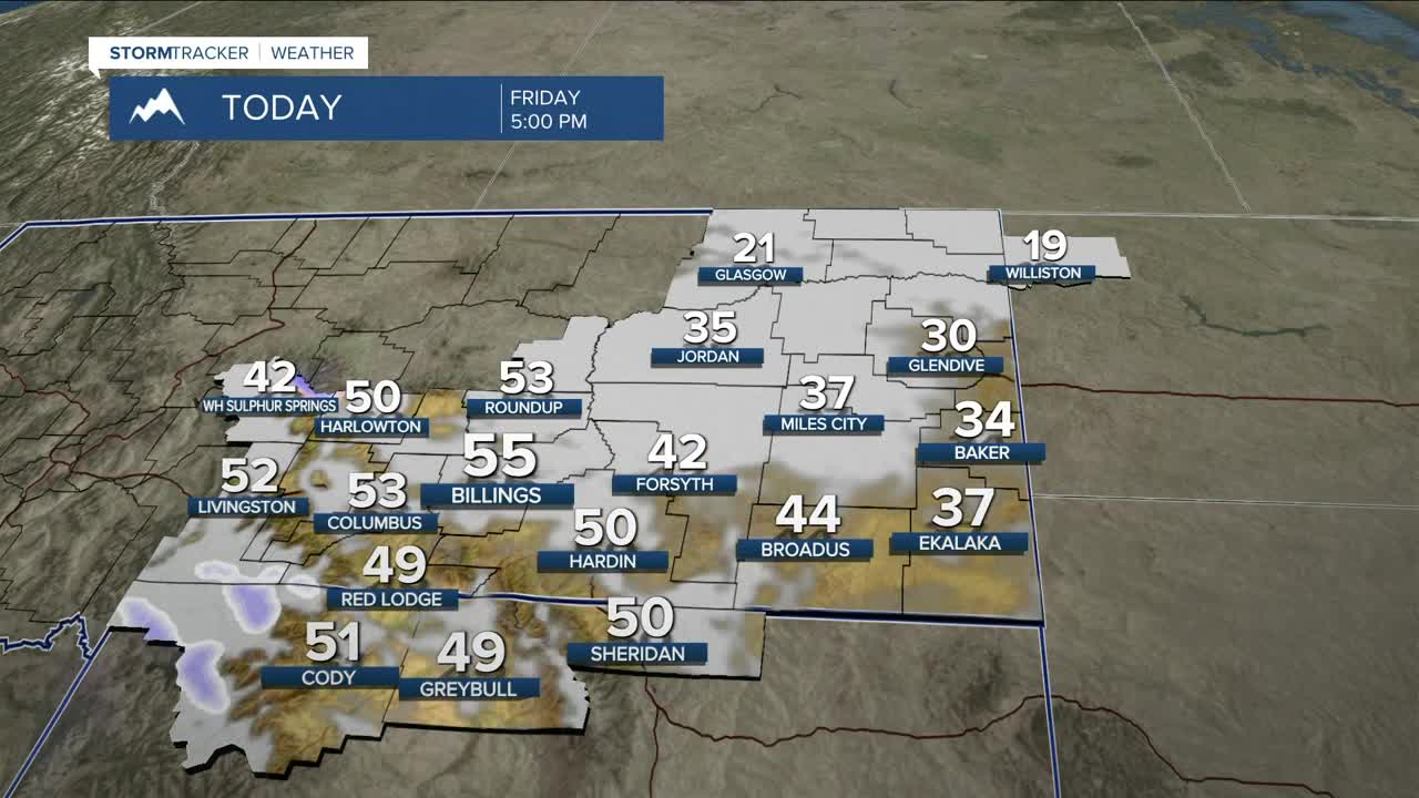


BILLINGS — The overall weather pattern isn’t changing much over the next several days. High pressure remains in control with occasional weak disturbances sliding through. That means above-normal to near-record warmth, periods of light mountain snow, and on-and-off gusty winds along the foothills.
Winds eased up overnight along the western foothills as pressure gradients relaxed, but low clouds and fog have been pushing into eastern and southeast Montana on moist northeast winds. Dense fog will remain an issue through mid-morning, and the Dense Fog Advisory stays in effect until 11 AM. Visibility may be poor at times, especially early today.
Light snow continues in the mountains—mainly on south- and west-facing slopes—while spotty rain and snow showers move into lower elevations across western and central areas this morning. Amounts will be very light for most valley locations, but 1–4 inches of snow is expected in favored mountain areas.
By this afternoon, winds ramp back up along the western foothills as stronger mid-level flow returns. Gusts of 30–50 mph are possible from Livingston to Nye and along the US-191 corridor, easing overnight. The chance of gusts over 60 mph remains low.
Another disturbance arrives Saturday night into Sunday, bringing more light mountain snow and another round of gusty foothill winds. The best chance for stronger gusts will again be from Livingston to Nye, with breezy conditions extending north toward Big Timber and Harlowton. This active pattern keeps periodic mountain snow and windy stretches going through at least mid-week.
Looking ahead, there are early signs the ridge could weaken late next week, which may allow cooler temperatures and lower-elevation snow to return. Confidence is still low, but it’s definitely something we’ll be watching closely.
Miller Robson
Q2 Morning Meteorologist
miller.robson@ktvq.com
