


BILLINGS — High pressure will continue to dominate the region through the end of the workweek, keeping conditions sunny, dry, and mild across the area. Temperatures will gradually warm each day, with highs climbing into the upper 60s to mid-70s on Wednesday and Thursday, then mainly mid-70s by Friday and Saturday.
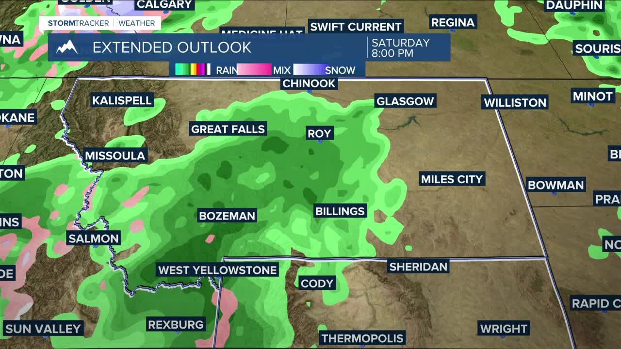
By the weekend, our next system is expected to move in, bringing a notable change. Rain chances will increase across the area, with good potential for more than a quarter inch of rainfall in many locations. Meanwhile, mountain areas will transition to snow, with the Absaroka, Beartooth, and Crazy Mountains expected to receive over 6 inches by Monday morning. The Bighorns will have a lower chance of exceeding 6 inches.
As the system passes, temperatures will turn much cooler. Highs are forecast to fall into the 40s and 50s on Sunday and Monday, making for a noticeably chillier end to the weekend and start of next week.
Overnight lows will trend milder through midweek — upper 30s to mid-40s Wednesday and Thursday nights, and mid-40s to low 50s Friday night — before cooling sharply to the 30s and 40s Saturday night and dipping into the 20s and 30s by Sunday night as colder air settles in behind the system.
Q2 Morning Meteorologist Miller Robson
miller.robson@ktvq.com
